


Written by Lucy Lim, Planetary Scientist at NASA’s Goddard Space Flight Center
Earth planning date: Friday, July 31, 2026
NASA’s Curiosity Rover Studies an Ancient Erosional Surface on Mars
NASA’s Curiosity rover continued investigating a major feature in the sedimentary rocks of Gale Crater that scientists believe may be an “erosional supersurface.” This geological boundary records a time when Mars transitioned from an environment dominated by sediment deposition to one shaped by erosion, before returning to conditions that allowed sediments to accumulate again.
Erosion may have been caused by wind, water, or a combination of both. The rock layers above and below the potential supersurface may preserve clues about these changing environmental conditions. Curiosity’s science team has identified patterns that resemble wind-shaped, or aeolian, features, along with lens-shaped deposits that may have formed through flowing water. Higher-resolution images are needed to better understand these structures and their origins.
This week, Curiosity moved within detailed imaging range of the “Cerro Paine Grande” vertical exposure, located just below the suspected erosional supersurface. The rover then climbed onto the surface, using its Mastcam camera to capture extensive stereo mosaics of the exposed rock face and a 360-degree panorama from the top.
Curiosity Navigates a Steep Martian Slope
The climb demonstrated Curiosity’s ability to navigate challenging terrain. The rover finished at an approximate 24-degree tilt in its final parking position. Rover planners also positioned Curiosity for contact science observations, approaching the mission’s contact-science tilt record of 27 degrees.
At the same time, the MAHLI camera and Curiosity’s geochemical instruments examined the rock layers beneath the geological discontinuity. During the Sol 4968 planning cycle on Monday, the light-toned bedrock target “Puyehue” was analyzed using the Alpha Particle X-ray Spectrometer (APXS), MAHLI, and ChemCam’s Laser-Induced Breakdown Spectrometer (LIBS).
ChemCam LIBS observations also examined the nearby bedrock block “Lago Palena” and the layered block “Piedras Juntas.” The APXS analyzed a sand target called “Cormudesi,” helping scientists compare the composition of Martian sand along Curiosity’s traverse across Gale Crater.
Analyzing Rock Layers Above the Slope
In the Sol 4972 workspace, located at the top of the slope, Curiosity encountered a sharp contrast in the bedrock. The outcrop featured a smooth, bedding-parallel surface at the local top and a darker, rougher, angled exposure of the same rocks.
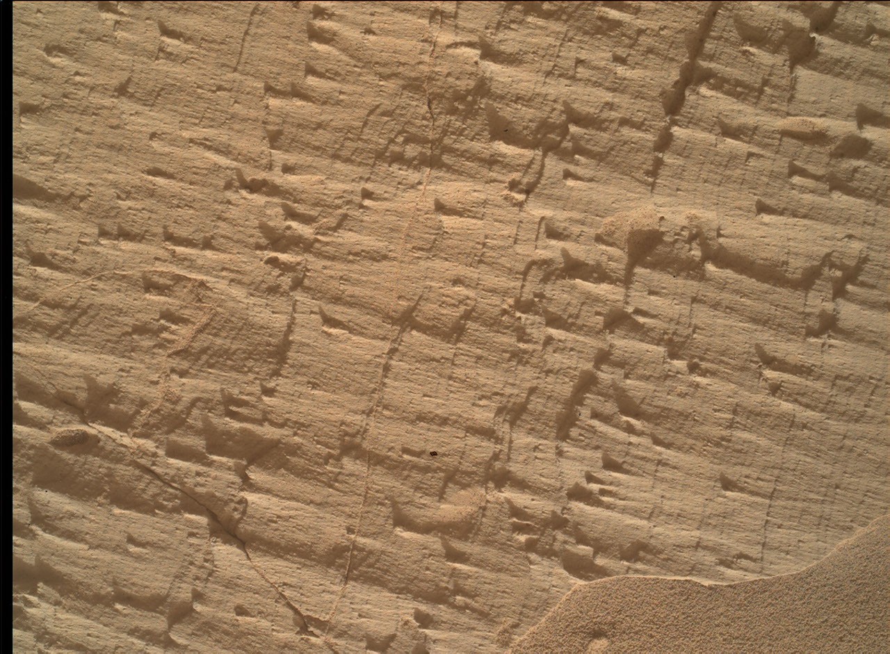
The light-toned upper surface, named “Sierra de Sangre,” was examined by MAHLI, APXS, and ChemCam’s LIBS instrument. The darker laminated rock face, called “Laguna del Laja,” was analyzed with APXS and MAHLI. MAHLI also created a detailed mosaic of the fine-scale sedimentary structures in the textured material at the “Longquimay” target, supported by Mastcam imaging.
Additional science activities included long-distance ChemCam Remote Micro-Imager (RMI) mosaics of sedimentary structures located above Curiosity’s current stratigraphic position. The rover also continued routine monitoring of the modern Martian environment, including measurements of atmospheric opacity and a ChemCam passive-sky survey to track minor gases in the planet’s atmosphere.
Together, these observations will help scientists determine how wind, water, and erosion shaped the ancient rocks of Gale Crater—and improve our understanding of Mars’ geological and environmental history.
Source: science.nasa.gov