


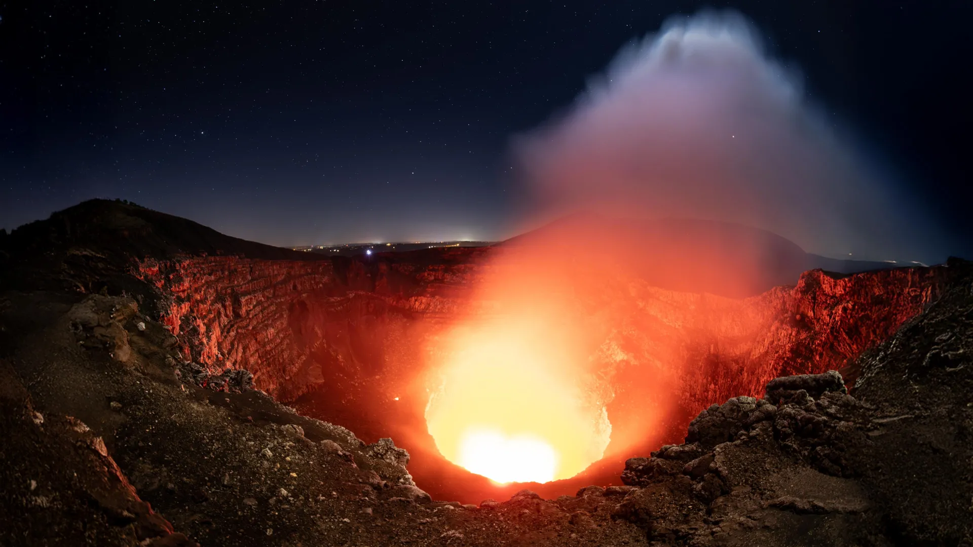
Satellite Data Reveal Two Hidden Magma Sources Beneath Nicaragua’s Masaya Volcano
Famous for its sparkling lava lakes, volcanoes hide surprisingly complex magma systems deep underground. Scientists at Pennsylvania State University have found evidence of two previously unrecognized magma sources beneath Nicaragua’s active Masaya volcano, raising new questions about how molten rock moves beneath Earth’s surface.
The discovery is particularly important because about 2 million people live within 21 miles of Masaya, which is also a popular tourist destination. Understanding the volcano’s underground activity could help scientists identify warning signs of future eruptions and better protect nearby communities.
Researchers used six years of satellite observations to track subtle changes in the ground around Masaya. They discovered that parts of the volcano first sank before beginning to rise, a pattern that may indicate fresh magma entering a deep reservoir. Meanwhile, the ground around the active Santiago Crater and lava lake continued to sink, suggesting that other, shallower magma chambers were behaving differently.
The study, published in Geophysical Research Letters, shows that volcanoes’ subsurface magma systems may be considerably more complex than previously understood.
“These observations will help scientists better understand how magma moves beneath Masaya, potentially improving future monitoring and eruption predictions,” said lead author Lizzy Johnson, who earned a bachelor’s degree in geosciences from Pennsylvania State University in May.
Why Masaya Volcano Is Closely Monitored
Masaya is located near Nicaragua’s capital, Managua. The geologically complex volcano is characterized by multiple overlapping craters and calderas. A caldera is a large depression that typically forms when the ground collapses after magma is removed from below the surface.
Scientists have studied Masaya for many years, but the movement of magma through its underground reservoirs and channels remains poorly understood. These systems can change over time, making it difficult to determine exactly what is happening beneath the volcano.
“About 2 million people live near Masaya, and the caldera is a national park and popular tourist destination, so it is important that we fully understand Masaya’s volcanic activity and the risks associated with it,” Johnson said. “Masaya last produced large lava flows in 1772, but its continued degassing often produces dangerously high concentrations of sulfur dioxide volcanic gas.”
Sulfur dioxide is a potentially harmful volcanic gas released when magma approaches or remains near Earth’s surface. Even without a major eruption, elevated concentrations can create hazardous conditions for visitors and surrounding communities.
Continuous monitoring is essential for distinguishing normal volcanic activity from changes that could indicate increasing hazards, explained Yong Chul Kim, who received his Ph.D. in geological sciences from Pennsylvania State University this summer.
“Continuous monitoring allows us to understand the baseline activity and see if the situation is changing,” he said. Certain changes in a volcano’s behavior can indicate increased activity or the possibility of an eruption. “And if we need to warn people, we can do so in a timely manner.”
How Satellite Radar Revealed Hidden Movements
To investigate underground activity at Masaya, researchers analyzed measurements collected by the Sentinel-1 satellite, which observes the volcano about once every 12 days.
The research team used a technology called Interferometric Synthetic Aperture Radar, or InSAR, to detect extremely small changes in the elevation of Earth’s surface. By comparing satellite measurements taken at different times, scientists can identify areas where the ground is rising or sinking.
InSAR combines two important features. Synthetic aperture radar sends microwave signals toward Earth’s surface, allowing satellites to collect measurements even when clouds obscure the ground. Interferometry compares the returning radar signals to detect changes in the distance between the satellite and the surface.
This capability is especially valuable in tropical regions, where frequent cloud cover can limit the reliability of traditional satellite imagery.
“Cloud penetration is important for volcanoes, as many of them, like Masaya, are located in tropical regions where they are often covered in clouds,” Kim explained. “And if you look at all the different satellite images over multiple years, you can see how the distance between the satellite and the ground changes and where it’s rising or sinking.”
By studying these subtle movements over time, researchers can investigate processes occurring far below the surface without directly observing the magma itself.
Two Magma Chambers Showed Different Behavior
Satellite measurements revealed an important pattern between 2018 and 2024. During the first part of the study, the ground within the Masaya caldera gradually subsided and moved downward. The same general area later began to rise.
Scientists believe this change may reflect variations in the amount of magma stored underground. When magma escapes from a reservoir, the ground above it can sink. When additional magma flows in and increases pressure within the reservoir, the surface can rise.
The most surprising finding was that the area around Santiago Crater did not follow the same pattern. Instead, it continued to sink throughout the six-year study, even as the wider caldera began to rise.
“Sinking probably means magma is flowing out of the volcano, but once the ground starts to rise again, it could mean new magma could be coming in,” Johnson said. “At the same time, the area immediately surrounding the active Santiago Crater contracted over the study period, independent of the transition to expansion of the main reservoir. This indicates a more complex piping system and may be due to magma depletion in a shallower secondary reservoir.”
Taken together, the observations suggest that at least two parts of Masaya’s magma storage system underwent different changes. Deeper sources may be supplying additional magma to the main reservoir, while shallower reservoirs near Santiago Crater may be losing magma.
This could explain why different parts of the same volcano moved in opposite directions.
What the Discovery Means for Future Eruption Monitoring
Understanding these subsurface movements is important because changes in the ground can provide clues about where magma is accumulating, where it is moving, and how it may ultimately reach the surface.
The researchers stressed that their observations revealed no immediate danger to communities around Masaya. However, identifying the volcano’s normal behavior and understanding its magma supply system may make it easier to recognize abnormal changes in the future.
Continued satellite observations, combined with more detailed computer models, could help scientists better understand the relationship between underground magma chambers and surface volcanic activity.
“Further long-term geodetic and modeling studies will provide a more thorough understanding and enable effective hazard monitoring and mitigation at Masaya and other basaltic lava lakes,” Johnson said.
The discovery could have implications beyond Nicaragua for other active volcanoes, particularly those with persistent lava lakes and complex underground magma systems.
From Undergraduate Research to Volcano Science
Johnson became involved with the project after attending a presentation by Professor Christel Wauthier, director of the Geoscience and Computational Sciences Hub at Penn State’s Institute for Computational and Data Sciences.
She completed the research as part of her thesis in Schreyer Honors College, working with graduate researchers, including Kim, to analyze satellite measurements and develop her scientific skills.
“I appreciated learning how research groups work,” Johnson said. “I didn’t have any research experience, so it was great to be able to participate in group meetings and hear about everyone’s research. Learning to code also helped me as I continued my Ph.D.”
Johnson recently enrolled in a doctoral program in geosciences at the University of Hawaiʻi at Mānoa, where she plans to continue studying volcanoes using seismic waves to image the subsurface of Kīlauea.
The research received support from the National Science Foundation through awards 1945417 and 2523375. Computational resources were provided by the Penn State Computational and Data Science Institute. The authors are solely responsible for the findings and conclusions, which do not necessarily represent the views of the funding bodies.
Source: www.sciencedaily.com