


How ESA Uses Satellites, AI and Supercomputers to Monitor Earth’s Changing Climate
Earth observation satellites are helping scientists track climate change, extreme weather, deforestation, ocean temperatures, ice loss and environmental risks. ESA Earth Observation Programmes Director Simonetta Cheli explains why international cooperation and advanced computing are essential.
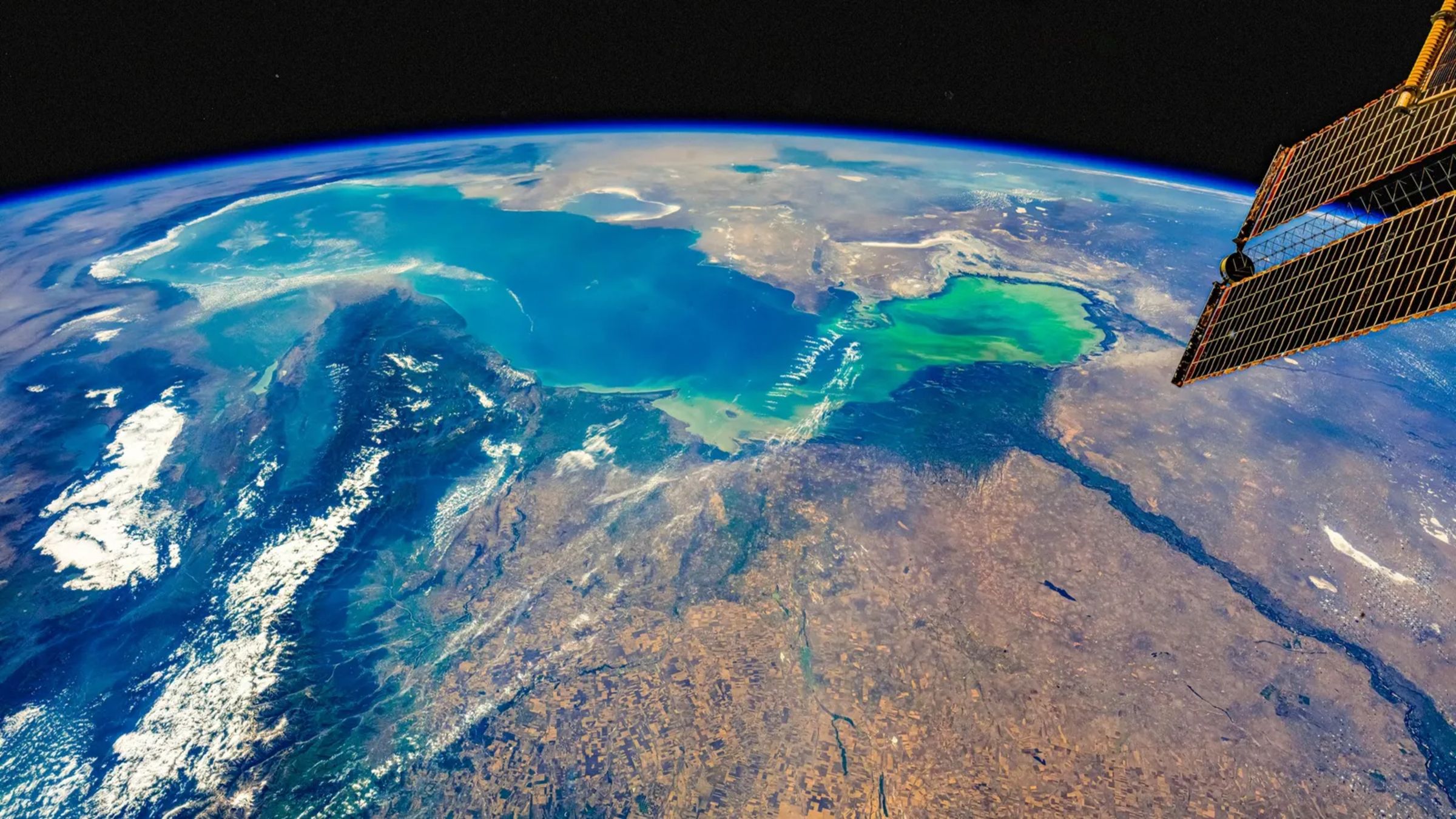
FRASCATI, Italy — Looking at Earth from space provides objective information about the planet’s health. Satellite observations can reveal changes linked to climate change, environmental degradation, food insecurity and extreme weather events in ways that cannot be seen as clearly from the ground.
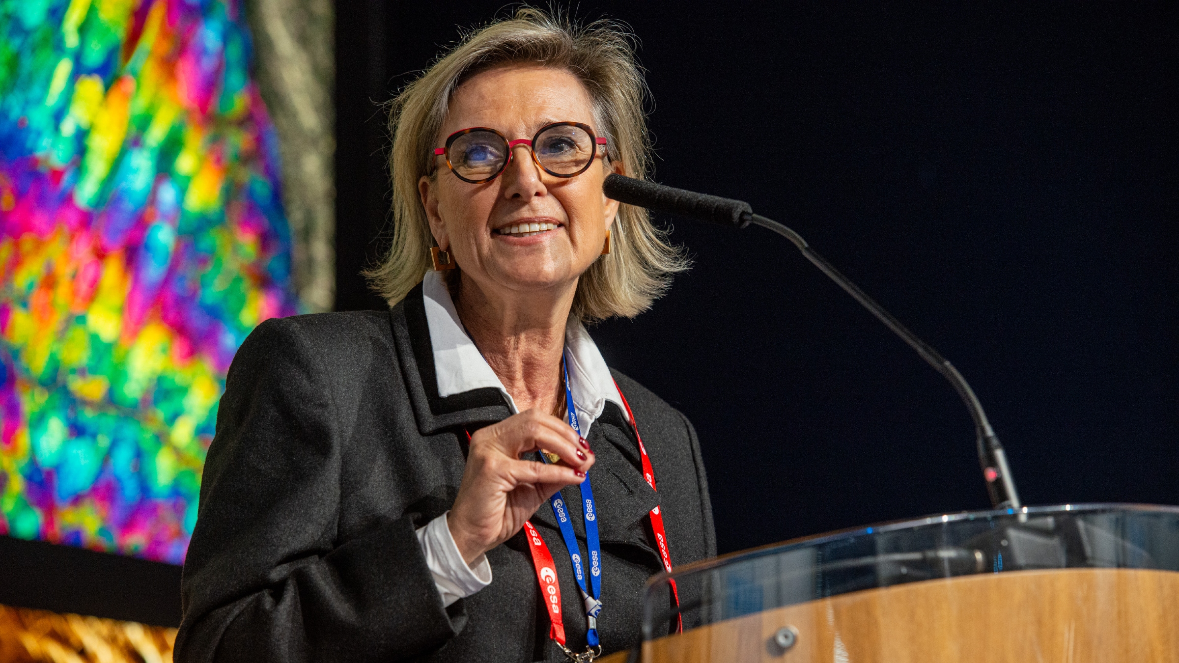
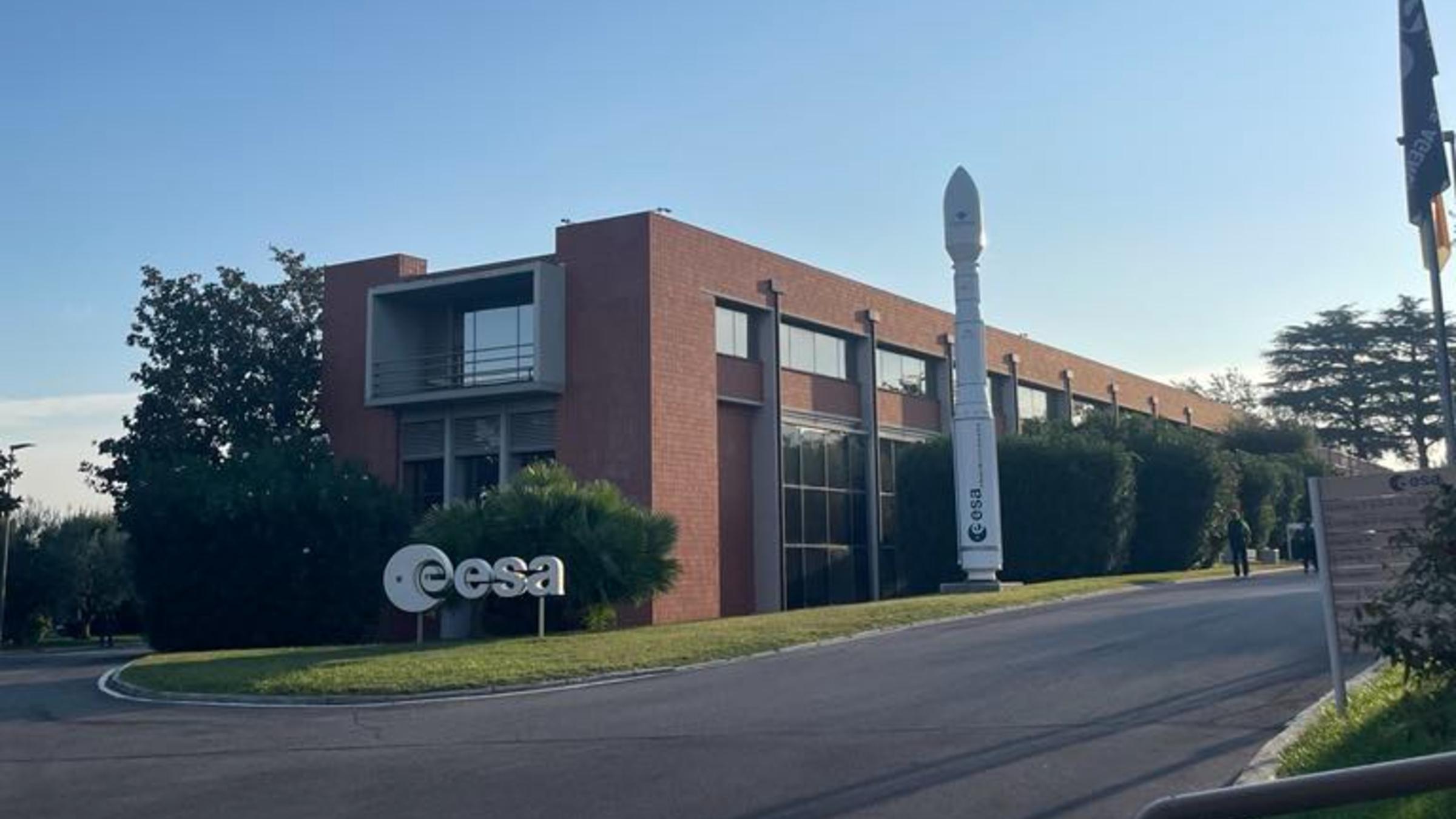
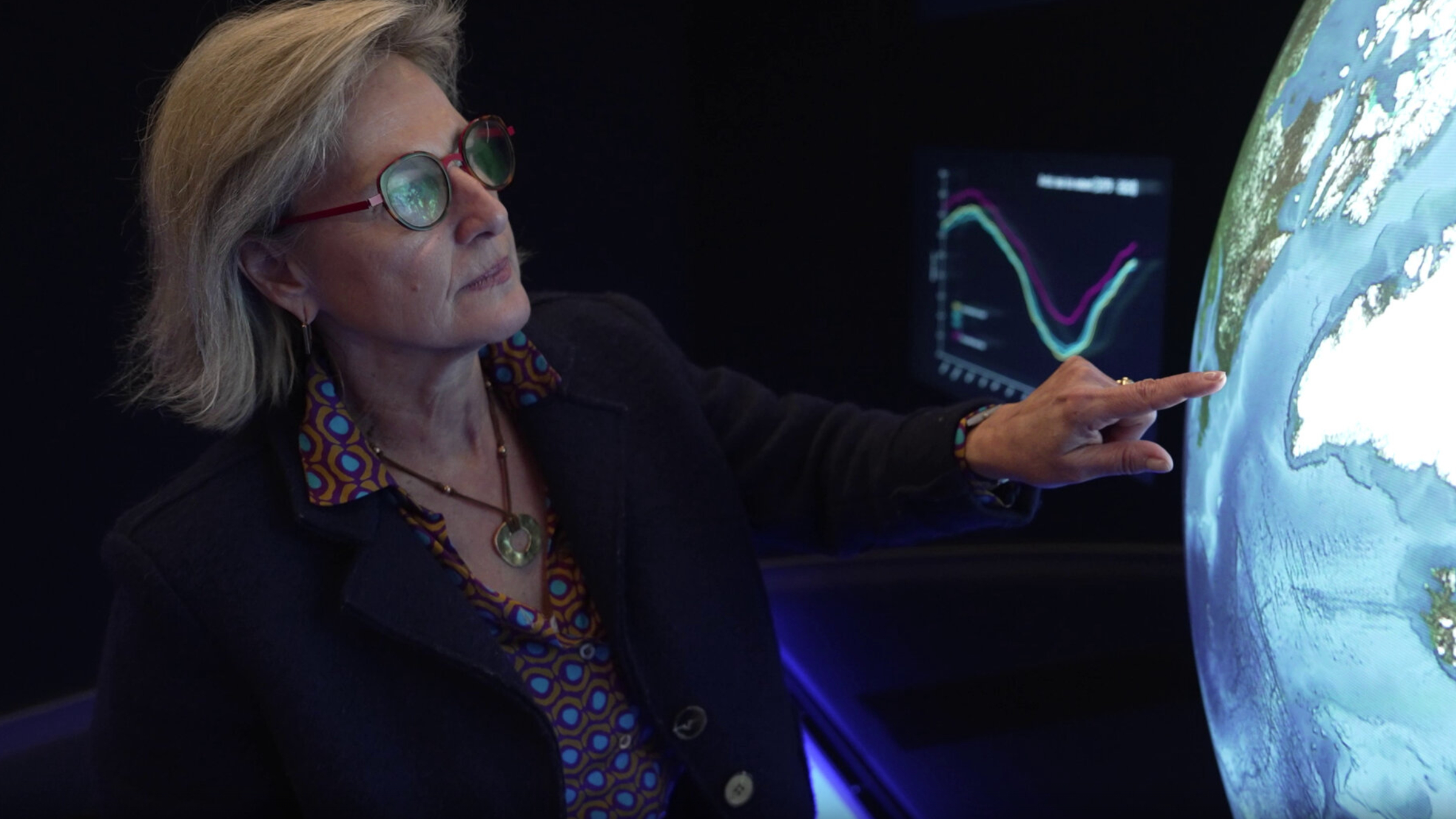
Simonetta Cheli, director of the European Space Agency’s Earth Observation Programmes and director of the European Space Research Institute (ESRIN) in Frascati, Italy, has worked in the field for nearly 40 years. She spoke with Live Science during a visit to ESRIN about the importance of Earth observation, ESA’s growing satellite fleet, NASA’s changing role, space sustainability and the use of artificial intelligence to process satellite data.
Why observe Earth from space?
“We need to know what condition the Earth is in today, whether it’s healthy or at risk, whether it’s under stress,” Cheli said.
Satellite measurements provide information about deforestation, air quality, ocean conditions and melting ice. Monitoring these changes helps researchers understand the present state of the planet and develop strategies to protect it in the future.
“Fundamentally, we need to be aware of the state of the Earth today so that we can preserve the state of the Earth tomorrow.”
— Simonetta Cheli, ESA
ESA’s Earth observation program has expanded
When Cheli joined ESA in 1988, the agency relied on missions operated by international partners, including the United States and Japan. ESA later began developing its own Earth observation missions, starting with ERS-1.
Today, more than 20 missions are managed at ESRIN, with more than 40 additional missions planned. Recent launches and missions are designed to study subjects including oceanography, extreme weather, plant health and temperatures over land and sea.
- IRIDE: An Italian-funded Earth observation constellation designed and operated by ESA.
- Fluorescence Explorer: A mission focused on plant fluorescence and vegetation health.
- Sentinel-3C: A satellite designed to measure conditions including land and sea temperatures.
Europe has become a leading power in Earth observation, according to Cheli, as its satellite systems now collect information for environmental monitoring, civil protection and scientific research.
International cooperation is essential
Earth observation depends on cooperation among countries, space agencies, commercial companies and research organizations. ESA has 23 participating countries and works with the European Union, NASA, Brazil, India and partners across Africa.
Climate change and environmental instability cannot be addressed by one nation alone. Changes in one region can affect people around the world. Cheli pointed to Greenland as an example: what happens to its ice affects the entire planet, not only the people who live there.
“Addressing climate and environmental stability cannot be done at the national level alone. We need to share data and collaborate with everyone around the world.”
— Simonetta Cheli, ESA
NASA funding changes could reshape Earth observation
Cheli said ESA has an opportunity to play a larger role as the United States faces changes to NASA funding, including its Earth observation budget. ESA already has satellites and missions capable of collecting important environmental data, and the agency was already leading the United States in emissions data, she said.
However, Cheli emphasized that cooperation with American partners remains important. Technical collaboration continues, although political relationships have become more complicated.
What makes the IRIDE satellite constellation important?
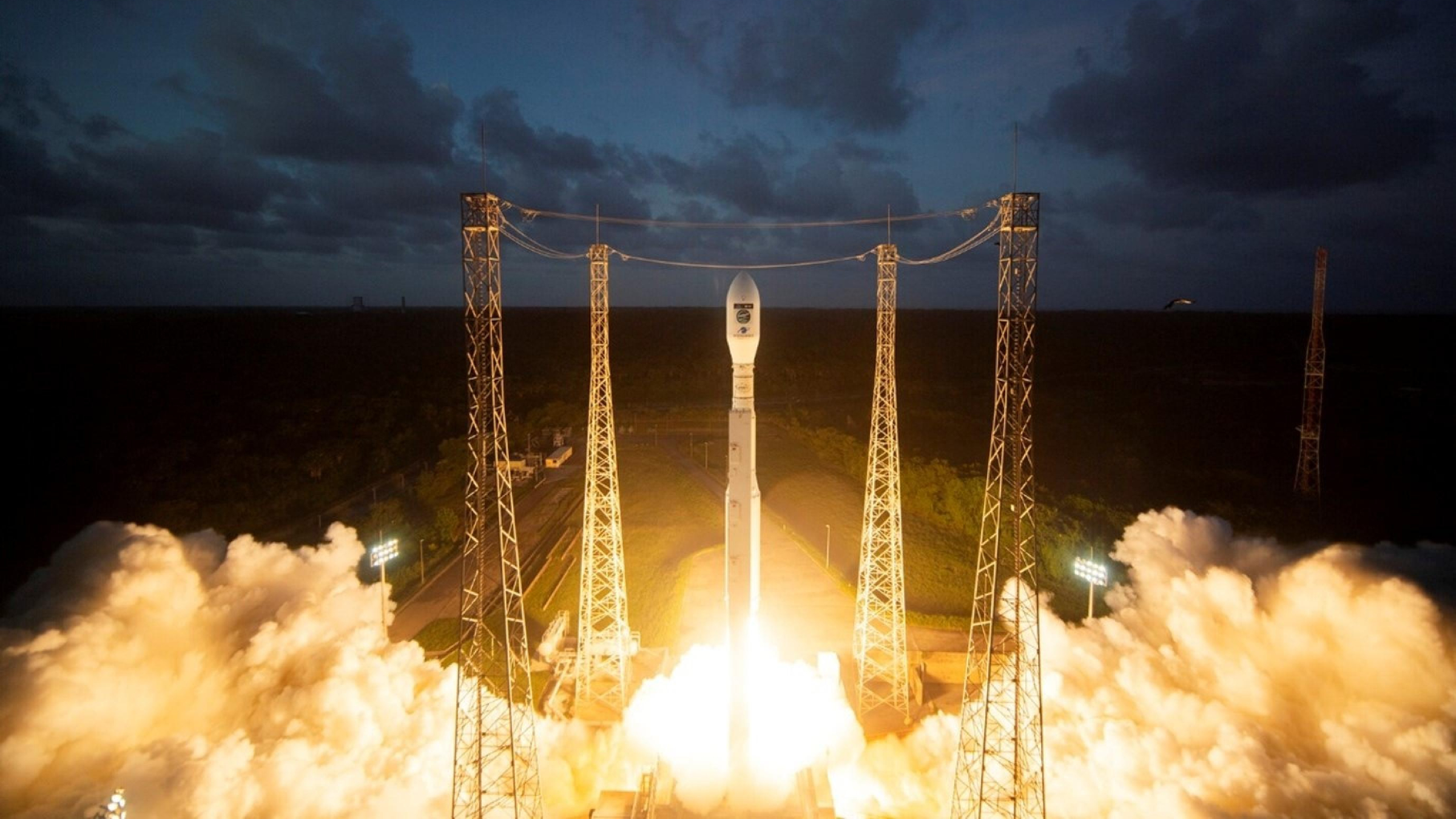
ESA recently launched eight additional satellites for the IRIDE constellation. The Italian-funded network is planned to include 68 satellites, with 39 already launched and more expected to be deployed.
IRIDE will collect large quantities of optical and radar data for applications such as coastal erosion monitoring, coast guard operations, civil protection and environmental stress analysis. The constellation will contribute to Europe’s wider Earth observation capabilities.
More satellites mean a greater risk of collisions
The rapid growth of commercial satellite constellations, including SpaceX’s Starlink network, is creating new challenges for scientific spacecraft. As more satellites enter orbit, mission operators must take more collision-avoidance measures.
Cheli said ESA has increasingly needed to move satellites to avoid potential collisions. Operators coordinate with other organizations, including the European Southern Observatory, but the growing number of spacecraft highlights the need for clear international rules.
Private companies are now major participants in space, so satellite safety cannot be managed only by government space agencies. Cheli said commercial operators must follow common rules to prevent dangerous situations in orbit.
How ESA is addressing space debris and launch pollution
Earth observation is intended to help protect the planet, but ESA also aims to make its own operations more sustainable. This includes designing satellites with enough propellant to support a controlled reentry at the end of their missions, helping prevent them from remaining in orbit as long-term space debris.
ESA and its partners are also working to reduce the environmental impact of launch operations at the agency’s active launch site in French Guiana.
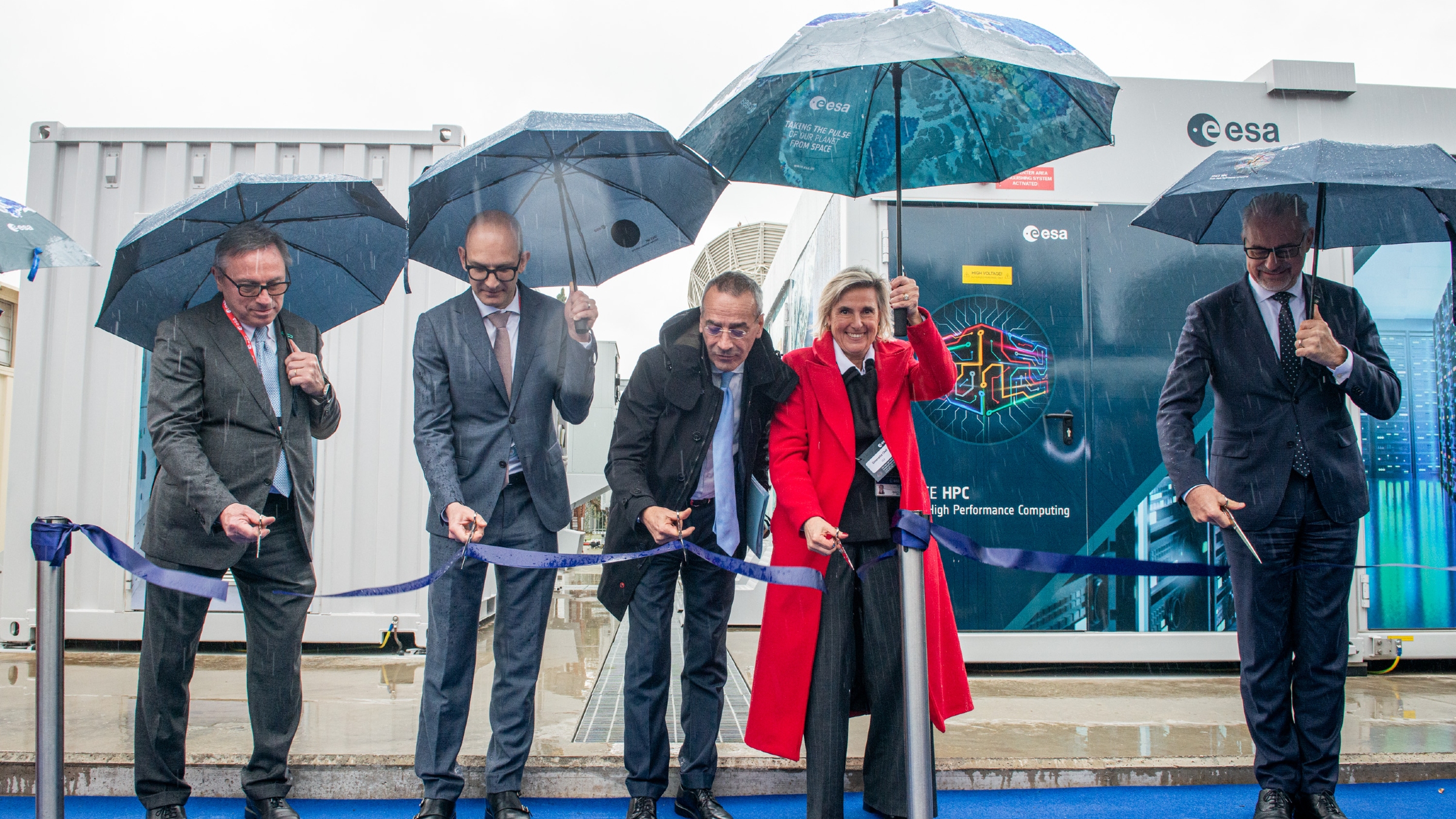
Space HPC helps process 500 terabytes of data each day
Earth observation missions generate enormous volumes of information. Through the Copernicus program, Europe receives about 500 terabytes of data every day. ESRIN also stores “heritage data” from completed missions and scientific programs operated by international partners, including Japan, India and the United States.
Advanced computing systems such as ESA’s Space HPC supercomputer can help researchers process these datasets more quickly. Artificial intelligence and other advanced computing tools may make it easier to analyze satellite observations, identify environmental changes and share information with users.
Thermal satellite images reveal Europe’s extreme heat
Cheli said her favorite recent satellite images were thermal views of the European heat wave. The images show land and ocean temperatures rising across southern Europe.
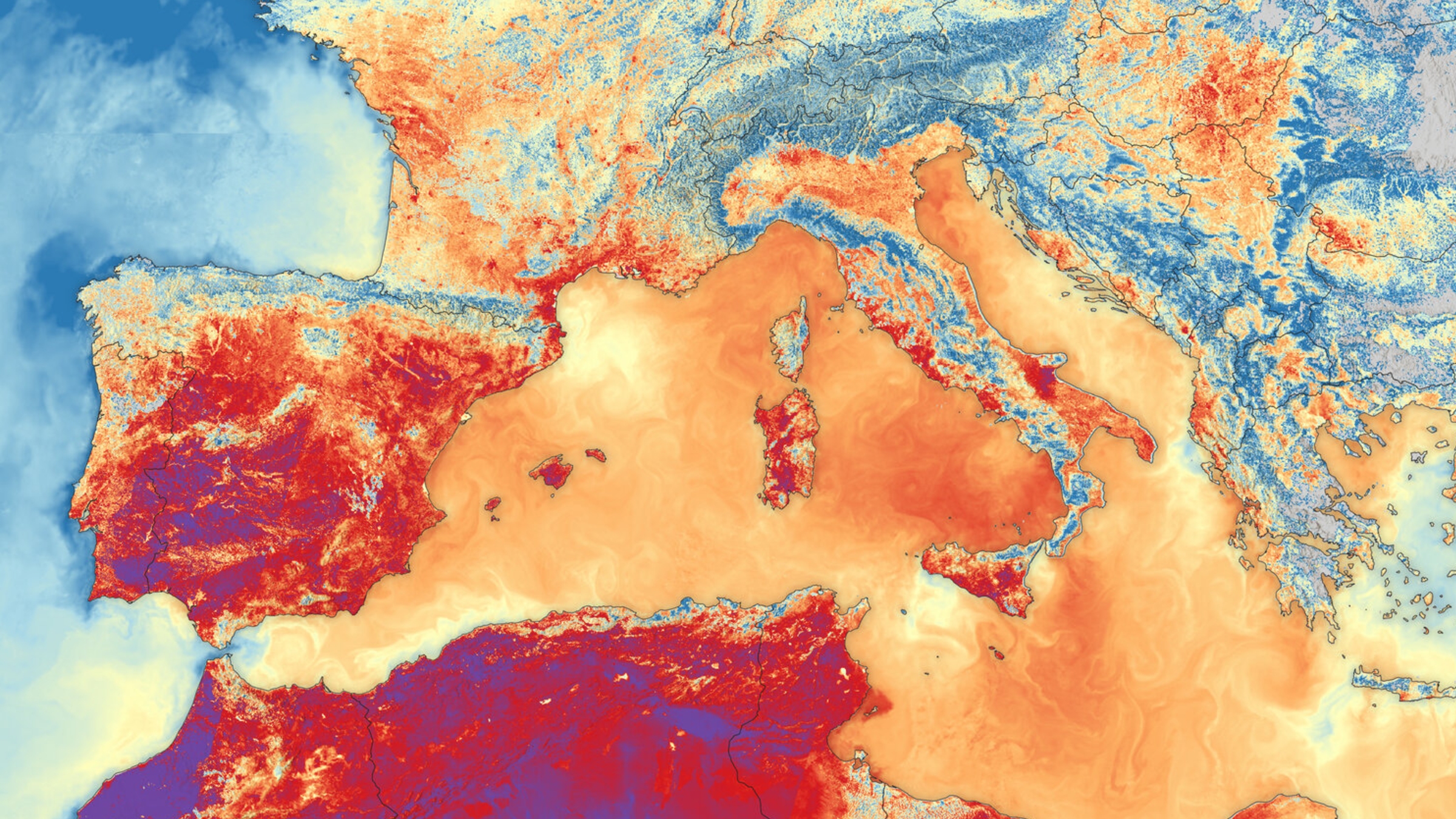
The image was captured by Sentinel-3B, the predecessor of the recently launched Sentinel-3C. Its colors show the intensity of the heat across the land and ocean, providing a clear view of the extreme conditions experienced during the summer.
Although the images document worrying changes, Cheli said they also offer hope. Satellites, advanced computers and international cooperation give researchers the tools to monitor extreme weather, raise awareness and support efforts to protect Earth.
This interview has been condensed and edited for clarity.
Source: www.livescience.com