


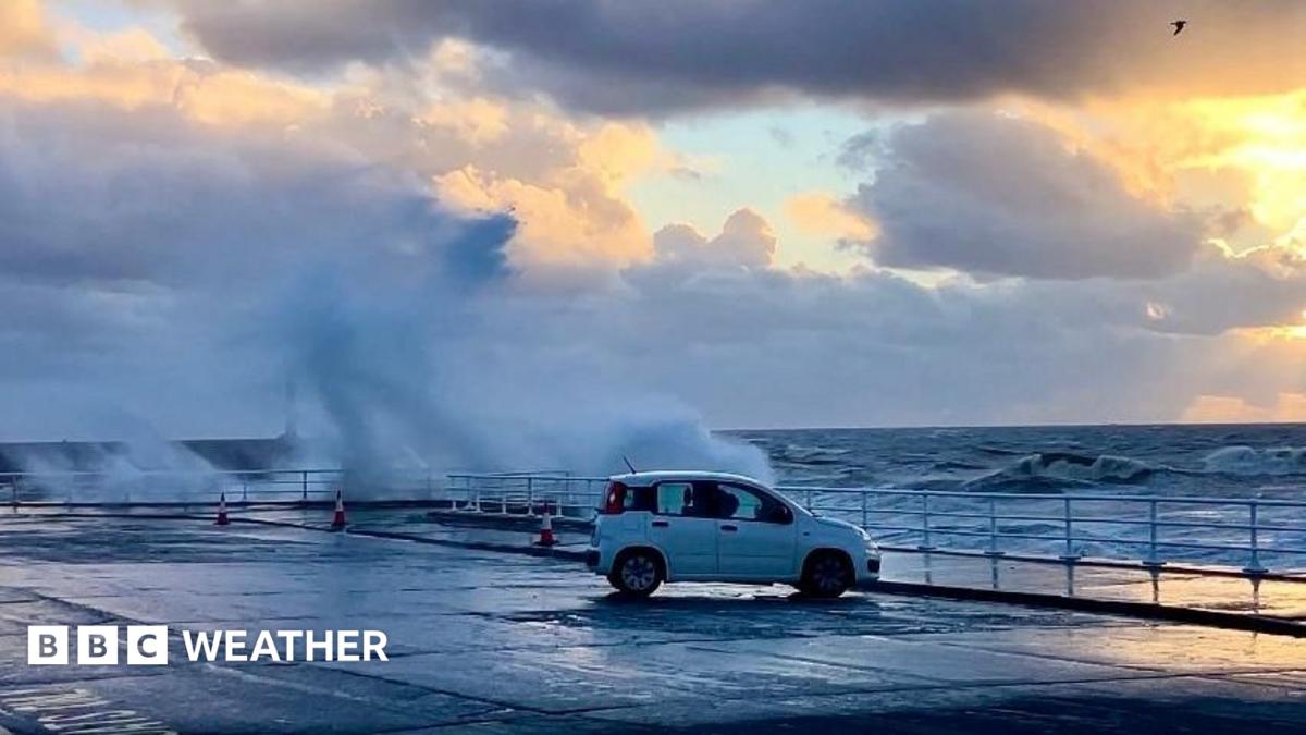
Unsettled weather is expected to continue into the early part of the week, with another low-pressure system bringing heavy rain and potentially strong winds to large parts of the UK from Monday into Tuesday. Conditions are likely to be less severe than those seen across the country since Friday, although travel disruption and difficult conditions remain possible.
The system is expected to deepen as it approaches the UK from the southwest. Rain will spread from the west, with heavy falls continuing in some areas. Combined with strong winds, this could cause further travel disruption, particularly in exposed coastal locations.
Strongest winds expected in northern areas
As with Storm Boerro, northern parts of the UK are likely to experience the strongest winds and the most significant impacts as Tuesday approaches.
A yellow wind warning is in place for Scotland, parts of Northern Ireland and northern England from 3am until midnight on Tuesday.
However, uncertainty remains over the strength and precise path of the developing low-pressure system. The areas expected to face the most severe conditions could therefore change as the forecast develops.
It is also not yet clear whether the system will be strong enough to be named as a new storm.
Updates are available on TV and radio, as well as online and on Instagram from BBC Weather.
Source: www.bbc.co.uk