


El Niño and UK Weather: Could It Bring Snow and Ice This Winter?
El Niño, a naturally occurring climate phenomenon in the Pacific Ocean, continues to strengthen and is already considered the strongest on record by some measures.
Heat released into the atmosphere by the unusually warm Pacific Ocean can influence weather patterns around the world. In the UK, El Niño increases the chance of rainy and stormy weather during autumn, and this is reflected in the current seasonal forecast.
Could El Niño bring snow to the UK?
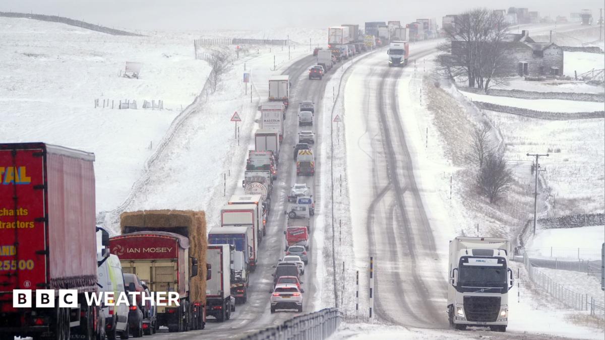
In late winter, waves of energy released by El Niño can rise through the atmosphere. This may increase the likelihood of disrupting the polar vortex, potentially raising the chance of ice and snow in the UK.
However, the relationship between El Niño and UK winter weather remains unclear, and the evidence is mixed.
What past UK winters can tell us
The so-called Great Freeze of 2009–2010 was the coldest winter in 30 years at the time and coincided with an El Niño event.
However, the winter of 2006–2007 was also unseasonably warm despite El Niño conditions.
The “Beast from the East” in 2018 occurred during a La Niña year, which is the opposite phase of El Niño.
What is the UK weather forecast?
While El Niño is already having a major impact on global weather and could influence the polar vortex later in the winter, it does not guarantee snow or ice in the UK.
Current forecasts indicate that significant cold weather or snow is unlikely in the near future.
See the latest forecast for next month here.
Source: www.bbc.co.uk