


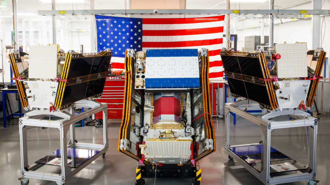
As smoke from numerous raging wildfires spreads across Canada and the United States, the inaugural three operational satellites of the Google-backed FireSat program have successfully been launched into orbit. These pioneering satellites are expected to commence wildfire detection across the United States, Australia, and Europe by the end of the year, with the capability to identify even the smallest fires.
The launch of these microsatellites aboard a SpaceX Falcon 9 rocket from Vandenberg Space Force Base in California on July 7, 2026, signifies the transition to initial operational capability for the FireSat satellite constellation, managed by the Space Force. Following a three-month testing phase, the satellites will begin actively supplying data to firefighting agencies, ensuring coverage of all fire-prone areas on Earth at a minimum of twice daily.
FireSat represents the first-ever constellation of satellites engineered exclusively for wildfire detection, with the unique ability to pinpoint small fires often overlooked by other satellites. Designed by California-based Muon Space, the initiative has received significant financial support, including $15 million from Google. Additionally, the Bezos Earth Fund has committed $26 million to the project.
Each satellite is outfitted with advanced multispectral imaging technology that can penetrate smoke and clouds to detect fires as small as 5 by 5 meters (approximately 16 by 16 feet). This capability was validated by the FireSat protoflight satellite, launched in March 2025, which captured over 1 million images and demonstrated its proficiency in identifying low-intensity fires that are invisible to existing satellites.
https://www.youtube.com/watch?v=2ERh1gAB0YI" title="Future of Wildfire Detection
The future of wildfire detection
Organizations in the “Early Adoption” cohort, including fire agencies in California, Colorado, Australia, and Portugal, will start utilizing FireSat data this year. The FireSat program aims to provide real-time imagery every hour worldwide by 2029 as additional satellites are launched. With a full constellation of 50 or more satellites expected to launch by the early 2030s, data images could potentially be made available every 20 minutes.
Source: arstechnica.com