


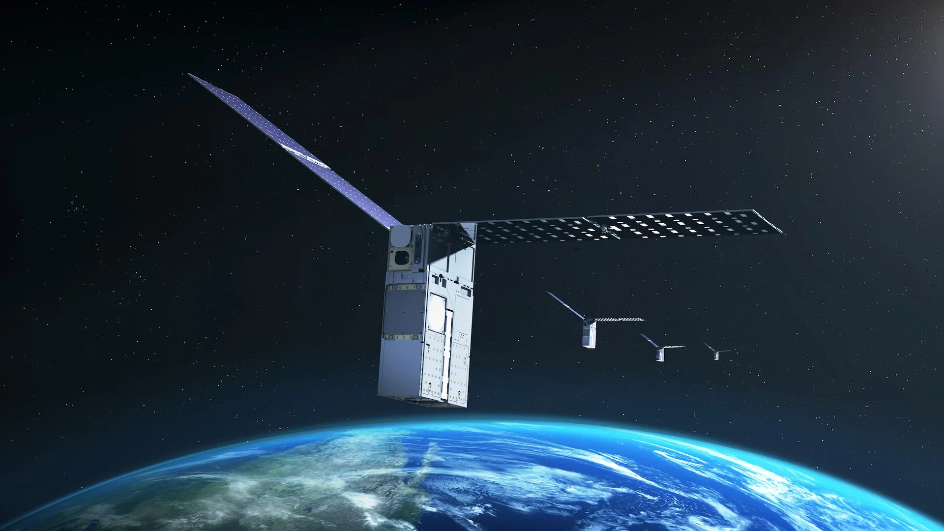
NASA’s Starling mission has achieved a major milestone in autonomous spaceflight by demonstrating FALCON, a GPS-independent optical navigation system that enables a spacecraft to determine its orbit using other objects in space as reference points.
The technology, known as FALCON (Fast Autonomous Lost-in-Space Catalog-based Optical Navigation), could help spacecraft operate with greater independence from ground-based navigation systems. The capability may become increasingly important as NASA develops missions beyond Earth orbit, including lunar satellite constellations, distributed science missions, and future human exploration of the Moon and Mars.
Autonomous spacecraft navigation without GPS
Satellites operating near Earth typically use GPS for positioning and navigation. However, GPS signals can be weak, unreliable, or unavailable near the Moon and in deep space. FALCON provides an alternative by allowing a spacecraft to identify objects in its surroundings and use them to calculate its own position and orbit.
The FALCON payload is a joint flight experiment developed by NASA and EraDrive, a startup that originated at Stanford University. The system combines EraDrive’s Era-Core flight software and embedded algorithms with Starling’s onboard camera and catalog of known space objects. Together, these technologies support GPS-independent navigation while helping spacecraft monitor nearby satellites and orbital debris.
“FALCON is another success of the Starling demonstration mission,” said Roger Hunter, program manager for NASA’s Small Spacecraft and Distributed Systems Program at NASA’s Ames Research Center in California’s Silicon Valley. “FALCON’s results could have far-reaching implications for on-orbit space traffic monitoring, collision avoidance, and alternative navigation. The number of firsts from Starling continues to grow.”
Using satellites and debris as navigation reference points
The FALCON demonstration used Starling’s onboard star tracker camera to test two related capabilities. Star trackers are standard spacecraft instruments that detect bright objects in space and help determine a spacecraft’s orientation.
During position, navigation, and timing experiments, FALCON identified objects—including other spacecraft and orbital debris—captured by Starling’s cameras. It then compared those observations with a publicly available catalog of known space objects maintained by the U.S. Department of the Army. After verifying the objects, FALCON used them as reference points to calculate Starling’s orbit.
Additional experiments tested whether the spacecraft could improve the orbital estimates of objects it observed. Mission controllers uploaded a catalog containing approximately 20,000 space objects and their predicted trajectories.
FALCON compared the catalog data with observations collected by Starling’s cameras. These measurements helped calculate Starling’s position and generate more precise estimates for the positions and orbits of other objects in space. In some cases, the updated estimates were more accurate than the existing catalog data.
Over three days, FALCON autonomously improved the known orbits of more than 200 space objects without intervention from ground-based operators.
Demonstrating autonomous optical navigation in space
FALCON demonstrated that a spacecraft can determine its own orbit with an optical camera by comparing its position with other known objects in space. In a separate catalog-update test, Starling also generated more accurate onboard estimates of object positions than the data provided by ground-based tracking stations.
These capabilities could be especially valuable for future satellite networks operating without GPS. Coordinated spacecraft could support navigation, communications, and scientific operations for human and robotic missions on the Moon and Mars.
Accurate spacecraft positioning is also essential for distributed science missions, which require multiple spacecraft to precisely align measurements collected from different locations. In space traffic management, autonomous navigation and onboard catalog updates could reduce dependence on ground-based tracking networks while improving collision-avoidance capabilities.
Turning university research into commercial space technology
The FALCON experiment also highlights NASA’s role in helping university research develop into commercial space technology. The project began as a university SmallSat Technology Partnership effort, later evolved into EraDrive, and is now supporting the commercialization of Era-Core software and related hardware.
Starling provided an opportunity to test the technology in real-world orbital conditions, demonstrating how advanced flight software can help satellites become more autonomous navigators.
Starling launched in 2023 and uses Era-Core to expand the FALCON experiment. The mission’s four spacecraft share tracking information and combine their observations to adjust their positions collectively.
NASA’s Ames Research Center in California’s Silicon Valley leads the Starling mission. NASA’s Small Spacecraft and Distributed Systems Program, based at Ames and part of the agency’s Space Technology Mission Directorate, funds and manages the mission.
Source: www.sciencedaily.com