


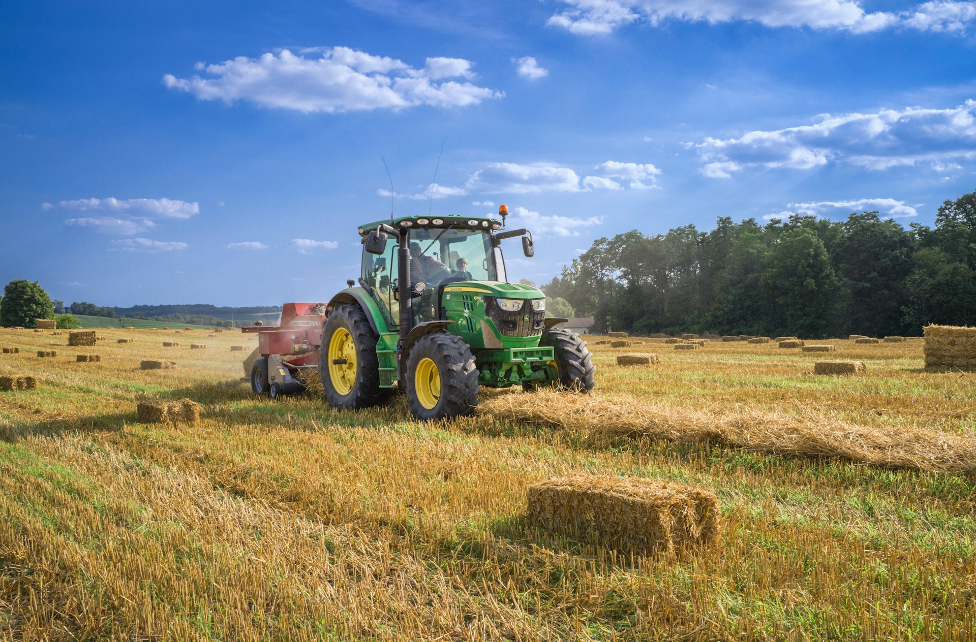
Since the 1850s, modern agriculture and clearcutting have dramatically increased soil erosion in the upper Mississippi River basin. Around the world, agricultural activity removes soil up to 100 times faster than natural erosion processes. This rapid soil loss reduces arable land, pollutes waterways and threatens long-term environmental sustainability. However, scientists have struggled to distinguish the effects of human land-use changes from natural erosion associated with the transition from the last Ice Age.
To determine whether modern farming practices are sustainable, researchers in Minnesota compared current agricultural soil erosion rates with erosion rates during the transition from the Last Glacial Maximum. The study focused on Trout Creek, a tributary of the Mississippi River. Trout Creek contains two stepped landforms known as river terraces—former floodplains that formed when the river flowed at a higher elevation before eroding to its present level.
The oldest upper terrace rises approximately 14 meters (50 feet) above the lower terrace, while the lower terrace is about 8 meters (26 feet) above the modern floodplain. Previous research indicates that these terraces contain sediment deposited during the last Ice Age, including the Last Glacial Maximum approximately 20,000 years ago.
On the upper terrace, researchers collected a cylindrical sediment core measuring approximately 4 centimeters (1.5 inches) wide and 6 meters (20 feet) deep. They extracted samples from depths of 2 meters (6 feet) and 6 meters (20 feet) to determine when the terrace sediments were deposited.
Some sediment particles trap electrons while buried underground and release them when exposed to light. Researchers stimulated these electrons with light and measured the resulting glow using a dating technique called optically stimulated luminescence. Brighter emissions generally indicate that sediment has been buried for a longer period. The results showed that the deeper sediment was approximately 22,000 years old, while the shallower sediment was about 20,000 years old, confirming that the upper terrace formed during the Last Glacial Maximum.
The research team then drilled into the upper terrace with an auger and collected sediment in a 25-centimeter (10-inch) wide plastic tube. Four samples came from depths between 0 and 2 meters (0 to 6 feet), and another sample came from a depth of 6 meters (20 feet). The researchers analyzed quartz minerals in the sediment for concentrations of radioactive 10Be, or beryllium-10.
Beryllium-10 forms when quartz is exposed to cosmic radiation near the surface. Low concentrations indicate that sediment was rapidly buried and had limited exposure to sunlight and cosmic rays. By measuring 10Be concentrations and using an online erosion-rate calculator, the researchers estimated that approximately 0.073 millimeters (0.003 inches) of surface sediment eroded each year during the Last Glacial Maximum.
The researchers collected a comparable sample from the lower terrace and used optically stimulated luminescence dating to determine that it formed between approximately 22,000 and 14,000 years ago. This period represented the transition from the Last Glacial Maximum, as temperatures increased, glaciers retreated and permafrost began to thaw. Analysis of 10Be in these sediments indicated an erosion rate of approximately 0.049 millimeters (0.002 inches) per year.
Finally, the team analyzed samples from the modern floodplain, which contains sediment deposited between approximately 14,000 years ago and the present. They found that natural erosion during this period averaged 0.053 millimeters (0.002 inches) per year. Although this rate was lower than the erosion rate during the Last Glacial Maximum, it was similar to the rate recorded during the broader deglaciation period.
The researchers compared these natural erosion rates with average soil loss from modern agriculture reported by four previous studies in the region. Modern farming removes approximately 0.60 millimeters (0.02 inches) of soil each year—between eight and 12 times more than the natural erosion rates measured in the study.
The findings show that agricultural soil erosion has increased far beyond the erosion caused by the most significant natural climate change in recent Earth history. Human-caused erosion follows a dramatic “hockey stick” trend, similar to the rise in global temperatures. This pattern suggests that intensive land use may be altering erosion rates across other parts of the Earth system as well.
The research team concluded that many modern agricultural practices are not sustainable at their current intensity. Conservation strategies, including reintroducing native plants, expanding ground cover and reducing soil disturbance, could help slow erosion and protect fertile land. Additional research is needed to identify the most effective long-term solutions for reducing agricultural soil loss.
Post views: 56
Source: sciworthy.com