


How Drones Are Tracking Wildfire Recovery and Finding Hidden Hotspots
“Some of these things can happen incredibly quickly, while others can take years, decades, or even more than our lifetimes,” she says.
“It will recover, but we don’t know yet what that will be.”
Using Drones to Monitor Wildfire Recovery
The drones that helped during the fires and continue to search for wreckage now have another important role: monitoring how the damaged landscape recovers.
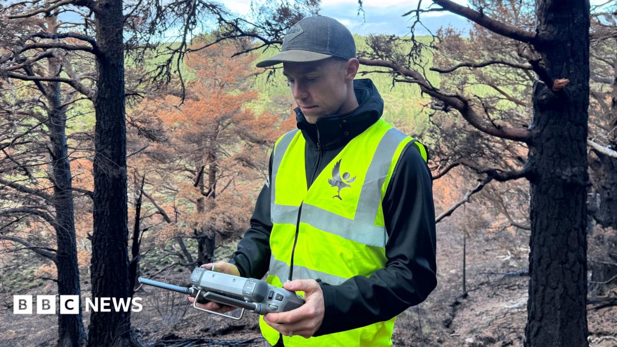
Pete programs the aircraft to repeatedly fly the exact same route over the affected terrain. Pre-set waypoints allow conservationists to capture photos and videos from the same locations month after month and year after year.
By comparing the images over time, they can track how the landscape is changing.
“This standard drone route will be flying the exact same route month after month, year after year, and it will give us amazing information about how it is recovering visually,” Sarah says.
Detecting Wildfires Before They Spread
The technology may have other uses as well, including helping to detect future fires before they spread.
Pete believes that having immediate views above the tree canopy could be important.
“The moments before a wildfire gets out of control can be critical to stopping a wildfire before it gets out of control,” he says.
Drones Help Find Hidden Fire Hotspots
Back on the ground, the patrol discovered another hotspot. From a distance, it was almost impossible to see. With guidance from the drone, however, the team was able to locate it precisely.
Heat remained beneath the thin layer of soil, and smoke became clearly visible when the soil was disturbed.
It was another location to report—and another new fire for the ground team to extinguish.
Above their heads, the forest was already showing its first signs of life. Below their feet, the last fires were still burning.
Source: www.bbc.co.uk