


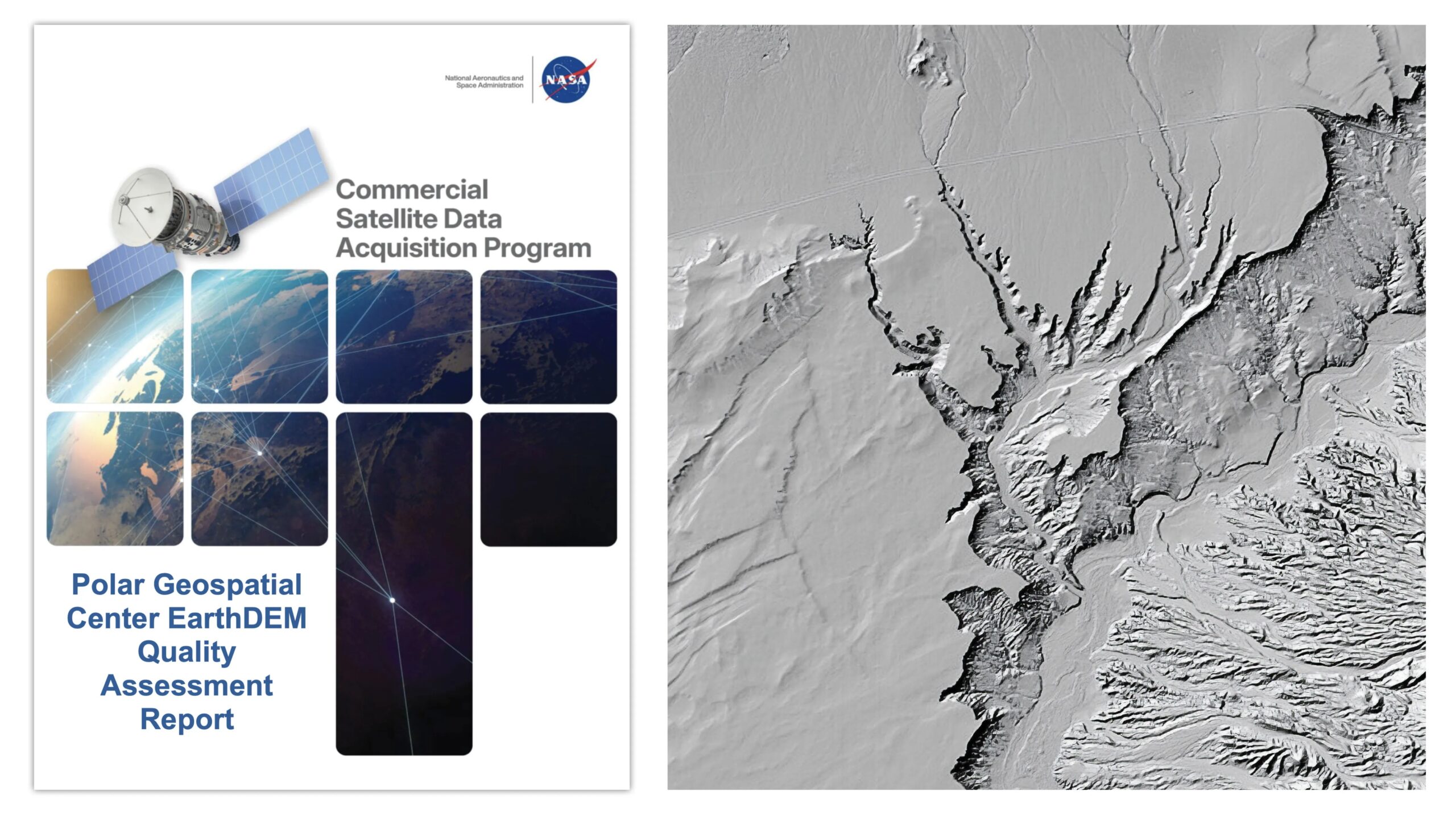
NASA’s Commercial Satellite Data Acquisition (CSDA) program has released a new quality assessment of the Polar Geospatial Center (PGC) EarthDEM digital elevation model (DEM) products. The evaluation provides NASA scientists, program managers, and data users with detailed information about the quality of commercial digital elevation models used in Earth science research.
Published August 8, 2026, the Polar Geospatial Center EarthDEM Quality Evaluation Report assesses the horizontal and vertical accuracy of two PGC EarthDEM digital surface model (DSM) products: the EarthDEM Strip DSM and Mosaic Tile DSM.1
A NASA Digital Elevation Model subject matter expert evaluated the horizontal and vertical accuracy of the EarthDEM Strip DSM and Mosaic Tile products across a range of surface characteristics. The assessment compared the products with airborne light detection and ranging (LiDAR) data collected from locations across the United States and Senegal.
The evaluation found that EarthDEM horizontal accuracy was consistent with specifications provided by PGC and received an “Excellent” rating. The Strip DSM achieved a horizontal root mean square error (RMSEH) of 0.5 meters, while the Mosaic Tile DSM achieved an RMSEH of 0.3 meters.
Vertical accuracy varied by land-cover type and exceeded the 0.5-meter vertical root mean square error (RMSEV) specification provided by PGC. The EarthDEM Strip DSM recorded an overall RMSEV of 5.6 meters, while the Mosaic Tile DSM recorded an RMSEV of 4.9 meters. Strip DSM vertical accuracy ranged from 4.6 to 6.8 meters RMSEV, depending on the cloud-cover metadata field generated by PGC. Based on these results, the vertical accuracy compliance of the EarthDEM products was rated as “Basic.”
Overall, the NASA CSDA evaluation supports using EarthDEM data for Earth science research and applications when its known characteristics are compatible with specific scientific objectives and use cases. Users should consider factors such as vertical accuracy, limited cloud masking, missing surface features, and data gaps before applying the datasets.
The report also reviews documentation for the EarthDEM products, including information available on the PGC website and peer-reviewed publications from researchers at The Ohio State University Byrd Center for Polar and Climate Research. Only the documents listed in the report were included in the review. The evaluators concluded that the EarthDEM product was “well-documented,” with most relevant information available through the PGC user guide, peer-reviewed research papers, or the PGC GitHub repository.
NASA established the CSDA program to identify, evaluate, and acquire commercially sourced data that support the agency’s Earth science research and application goals. NASA’s Earth Sciences Division recognizes that commercial satellite constellations can help advance Earth system science and develop applications that benefit society. Commercial satellite data may also offer a cost-effective way to enhance or supplement Earth observations collected by NASA, other U.S. government agencies, and international partners.
To read the complete NASA EarthDEM quality evaluation report, follow the link listed under the “Evaluation” heading on the Polar Geospatial Center vendor page of the CSDA website.
1 According to the report’s authors, “Please note that the PGC EarthDEM product is not technically a commercial product. EarthDEM is a digital elevation dataset derived from imagery collected from the Vantor (formerly Maxar) optical satellite constellation.”
Source: science.nasa.gov