


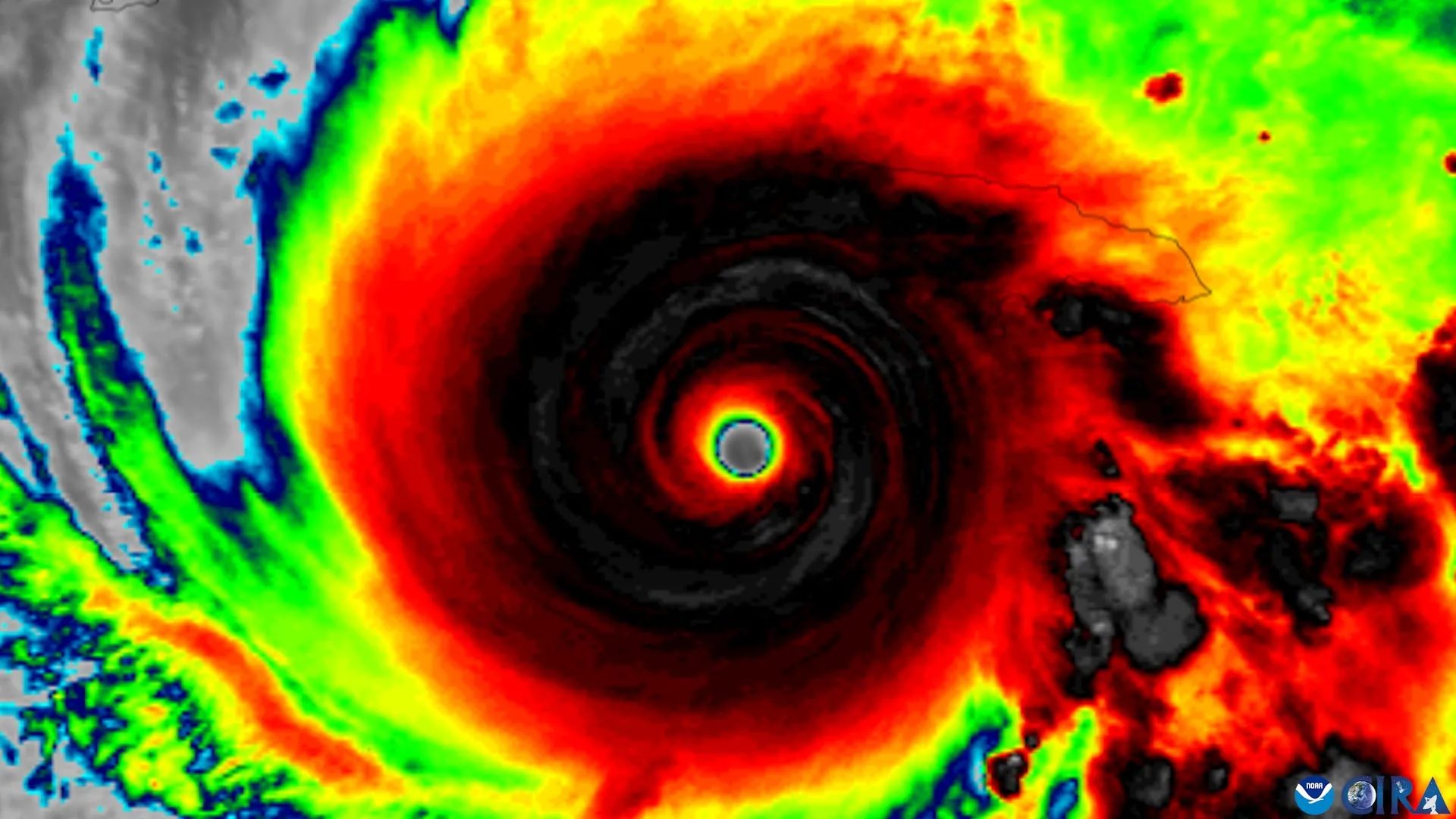
4 Signs a Tilted Tropical Cyclone May Organize and Strengthen
Tropical cyclones typically need to organize vertically before they can intensify. This happens when the storm’s centers of rotation at different levels of the atmosphere line up instead of remaining tilted apart.
Using nearly 30 years of observations from NOAA Hurricane Hunter aircraft, researchers identified four characteristics that appear to help tilted tropical cyclones align vertically and become more likely to strengthen.
The study was led by scientists at the University of Miami’s Rosenstiel School of Ocean, Atmospheric, and Earth Sciences, in collaboration with colleagues at NOAA’s Atlantic Ocean and Meteorological Laboratory. The findings suggest that successful vertical alignment depends on several interacting factors, including the storm’s internal structure, the direction of surrounding winds, and the broader environment.
Understanding this transition is important because rapidly intensifying storms can leave coastal communities and emergency managers with little time to respond. If forecasters can identify earlier when poorly organized tropical cyclones are beginning to strengthen, communities may have more time to make evacuation decisions and complete other preparations.
“Tropical cyclones have to stand up straight before they can develop,” said lead author Michael S. Fischer, an assistant professor in the Department of Atmospheric Sciences at Rosenstiel University. “High winds high in the atmosphere can cause the crest of the storm circulation to move away from the center near the ocean surface. The storm typically does not intensify significantly until those centers regroup.”
4 signs that favor tropical cyclone organization
Researchers identified four characteristics that help determine whether a tilted tropical cyclone is likely to straighten vertically:
- A compact, tightly organized circulation near the ocean surface.
- Storm tilt positioned favorably relative to vertical wind shear.
- An increase in updrafts and heavy rainfall near the storm’s lower center.
- An environment with warm ocean water, abundant atmospheric moisture, and relatively weak winds in the middle atmosphere.
Meteorologists use the term “slope” to describe the separation between a tropical cyclone’s circulation centers at low and intermediate altitudes.
Vertical wind shear refers to changes in wind speed or direction with height. Strong wind shear can prevent cyclone organization by moving the top of the circulation away from the center near sea level.
Nearly 30 years of NOAA Hurricane Hunter data
To determine which storms successfully aligned, the researchers examined data from the Tropical Cyclone Radar Archive of Doppler Analysis with Recentering, known as TC-RADAR.
The database, developed by Fisher et al., includes 1,510 radar analyses collected by NOAA Hurricane Hunter aircraft over 28 hurricane seasons from 1997 through 2024.
This extensive record allowed the team to compare vertically aligned storms with storms that remained tilted.
“The storm that was aligned already looked different about a day ago,” said Fisher, who is also a core faculty member at the Frost Institute for Data Science and Computing. “Near the surface, there was a stronger, more tightly wound circulation, with more widespread and intense thunderstorms whipping up the air near their centers. Our findings suggest that these thunderstorms are not just a sign of organization. They may also help correct the tilted circulation of the storm.”
The findings suggest that thunderstorms developing close to the lower-level circulation may play an active role in storm organization, rather than simply serving as a visible sign of ongoing intensification.
Early clues that a tropical cyclone is organizing
NOAA reconnaissance planes already collect many of the measurements highlighted in the study during operational flights, including low-level wind strength, storm size, thunderstorm extent, and cyclone tilt direction.
The newly identified features could help scientists assess whether high-resolution hurricane prediction models accurately reproduce the physical processes that vertically align tilted storms.
The study may also give forecasters additional clues about which disorganized tropical cyclones are beginning to transition into structures more likely to develop.
“Even a small increase in confidence in the day-ahead forecast could provide more meaningful preparation time for communities in the storm’s path,” Fisher said. “This study gives us real-world evidence of what separates storms that are organizing from those that remain tilted and weakly strengthening.”
Study details
The study, “To adjust or not to adjust? That’s the question,” was published in Geophysical Research Journal: Atmosphere.
In addition to Fisher, the authors are George R. Alvey III of the Cooperative Institute for Oceanic and Atmospheric Research and the NOAA Atlantic Marine and Meteorological Laboratory; Deeran Jariwala, who earned a bachelor’s degree in meteorology and mathematics from the University of Miami in spring 2026; and Paul D. Reasor of the NOAA Atlantic Marine and Meteorological Laboratory Hurricane Research Division.
This research was supported by the National Science Foundation under award number 2241605.
Source: www.sciencedaily.com