


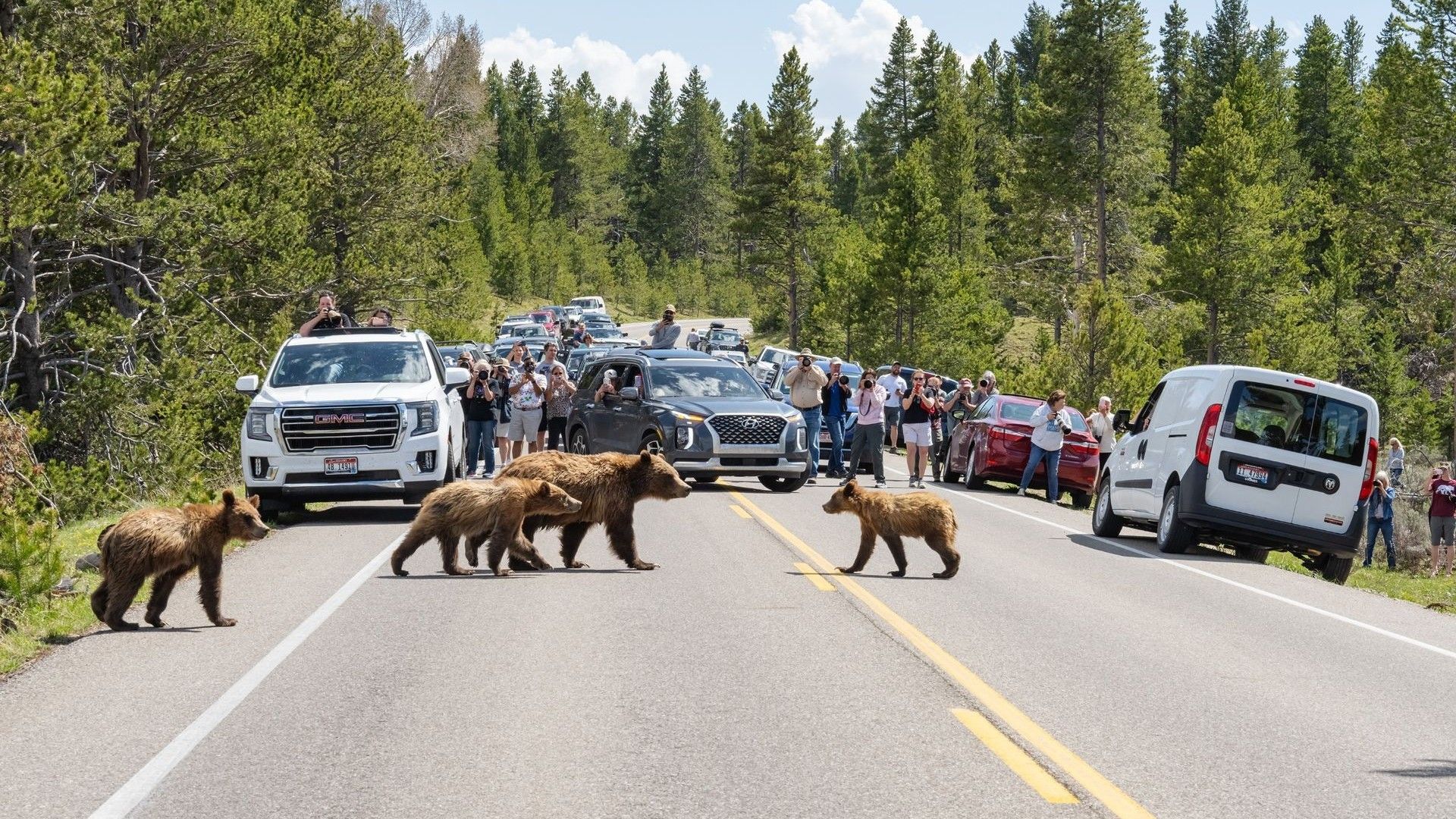
Between fall 2020 and spring 2021, a 360-pound (160 kilograms) young male grizzly bear nicknamed “Lingenpolter” tried to cross Interstate 90 in western Montana 46 times over 53 difficult days. High-resolution GPS data showed the bear moving alongside four lanes of traffic and repeatedly turning back before he apparently found a route beneath a river bridge. His struggle illustrates how highways, development and human activity can isolate wildlife across the Rocky Mountains—and how tracking technology is helping scientists identify safer pathways.
“It is easy to imagine the difficulty this grizzly bear experienced trying to reach the other side,” Cecily Costello, a research wildlife biologist at Montana’s Department of Fish, Wildlife and Parks, told Live Science.
Another grizzly was not so fortunate. The 27-year-old male bear was struck and killed by a truck while attempting a crossing near one of Lingenpolter’s routes, triggering a multicar rollover.
Why connectivity matters
Grizzly bears (Ursus arctos), also known as brown bears, need room to move between populations and mate. When roads and other barriers prevent that movement, small groups can become genetically isolated.
“It’s really challenging to be a small, fragmented population,” said Michael Proctor, a wildlife biologist at the Canada-based environmental consulting firm Birchdale Ecological Ltd. Fragmentation is “one of the mechanisms by which we lose entire communities, and sometimes whole species,” he told Live Science.
The challenge is particularly urgent across the 2,100-mile (3,400-kilometer) region running along the Rocky Mountains from Yellowstone in Wyoming to the Yukon in northern Canada. The landscape spans five U.S. states, two Canadian provinces and more than 75 Indigenous territories.
Jordan Reeves, program director of landscape connectivity at the Yellowstone to Yukon Conservation Initiative (Y2Y), said the region “represents the most intact, connected, wild, large mountain region in the world.” Y2Y works to protect connectivity across the area.
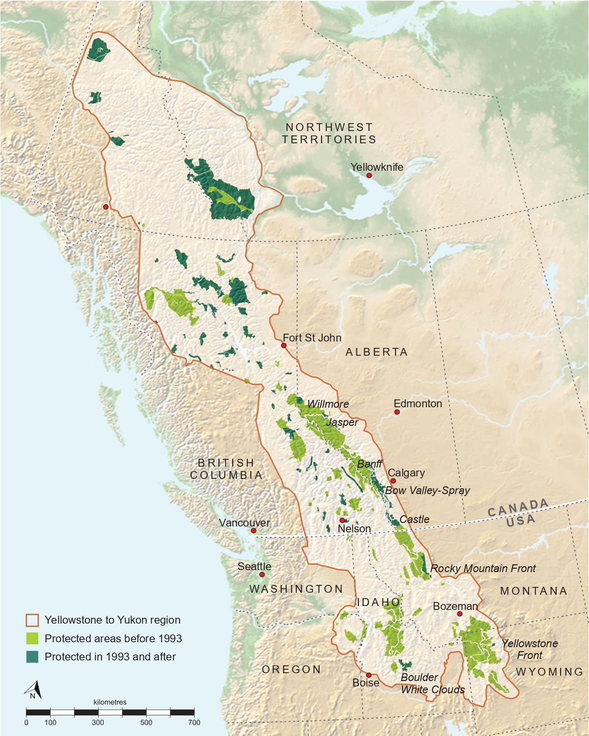
Highways, rail lines and human development have fragmented the valleys in this region, making it harder for grizzlies to travel between suitable habitats. Because grizzlies use high-elevation alpine areas, mountain slopes and low valley bottoms, protecting their movement can also preserve routes for wolverines, mountain goats, elk and bighorn sheep, Proctor said.
Researchers are therefore studying why, where and when grizzlies move—and what causes them to stop.
“We’re looking at how a bear sees the world,” said Andrew Derocher, a bear biologist at the University of Alberta who has used GPS collars to track grizzly movements.
Nature versus nurture
When Sarah Sells began graduate studies in animal behavior, her supervisor told her to “try to crawl into their fur brains and understand how they think,” she told Live Science. Scientists cannot directly observe what is happening inside a grizzly’s mind, but GPS collars that record an animal’s location hourly can reveal a great deal about its behavior, said Sells, now assistant unit leader of the U.S. Geological Survey’s Montana Cooperative Wildlife Research Unit.
Tracking data is providing increasingly detailed information not only about where bears go, but also about how and why they make particular choices.
“Bears are food finding machines,” said Chris Servheen, a bear biologist with the International Union for Conservation of Nature’s Bear Specialist Group. “So remembering where they found food is critical to their success in life.”
Using telemetry data and movement modeling, Derocher and his colleagues have studied how well grizzlies remember where food is available and when particular foraging areas are most productive. His research found that about two-thirds of the bears have strong memories for where and in what season they previously found food.
His tracking data also showed that wild bears generally avoid people. However, grizzlies have only a few months to build fat reserves for winter. When food is scarce, some move into human-dominated areas and may be killed, Proctor said.
The data also suggests that bears have distinct “personalities,” with individual traits and quirks, Servheen said. Some behavior appears to be passed culturally from mothers to their offspring.
An infamous female grizzly known as 399 repeatedly jaywalked—potentially hundreds of times—in Wyoming’s Jackson Hole valley while keeping her distance from people. Her more than 20 cubs learned to follow her example, but they did not always show the same caution. Several were killed by vehicles or through management euthanization.
“It’s a risky thing to teach your kids to do stuff like that,” Servheen said. “And her offspring weren’t as smart as she was.”
A “cracked windshield” landscape
In the late 1990s, Proctor conducted a DNA survey across 1,500 square miles (4,000 square kilometers) of southern British Columbia. The results overturned his assumption that grizzlies, bighorn sheep (Ovis canadensis) and other animals could move freely across the province.
Instead, he found what he calls a “cracked windshield” landscape: roads and human development had broken the wilderness into isolated genetic islands. During the 2000s, the genetic diversity of the South Selkirk grizzly population—a detached group living in southeastern British Columbia, northern Idaho and northeastern Washington—was so low that biologists feared the bears might not survive.
Proctor and his colleagues used bear movement data to model pathways through human-settled valleys. Convinced that one potential corridor was important, Proctor spent 10,000 Canadian dollars ($7,000) of his own money to buy a key parcel of land in its path.
“That was the first canoe over the waterfall of purchasing connectivity land,” Proctor said.
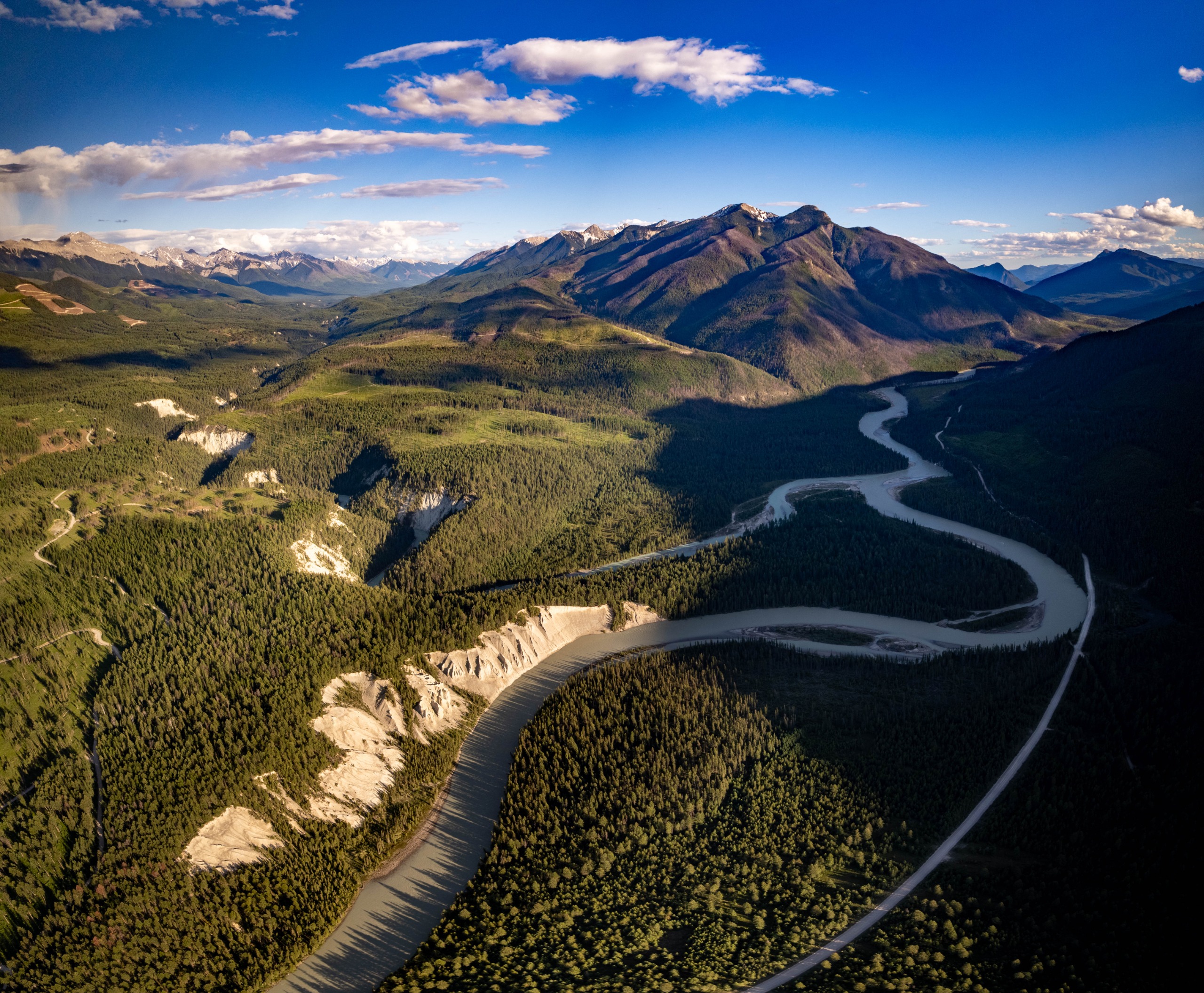
In the years that followed, Proctor and other scientists partnered with conservation trusts to purchase additional parcels, build fences and establish safe corridors in British Columbia’s Creston Valley. The work helped bears move north and south—sometimes across the international border—and travel between the South Selkirk and Purcell mountains.
The researchers tracked bears including “Captain Hook,” which had been shot in the leg. The bear eventually entered the South Selkirks and bred with eight females. By 2021, nine immigrant bears had produced 27 offspring within the population.
“This is gene flow; this is connectivity,” Proctor said. “We took a completely isolated population and pretty much recovered it.”
Why wildlife crossings need more than bridges
Roads can still bring bears to a halt. When Servheen tracked grizzlies near Highway 2 in northwestern Montana, he found that many avoided the highway completely. Those that crossed generally did so at night, and their crossings clustered in particular sections of the road.
Identifying those crossing zones has helped researchers select locations for wildlife overpasses and underpasses on busy highways. But a crossing structure alone is not enough, Servheen cautioned.
A bear may have an exceptional memory for where it can find food, but its brain provides no special reward for safely crossing a road. The penalty for a mistake can be fatal. Conservationists therefore cannot assume that bears will remember where a bridge or underpass is located.
Fences are needed to guide animals toward crossings, and the land on both sides must provide a safe route. “Otherwise, you have a bridge to nowhere,” Servheen said.
Researchers such as Sells are also using known movement patterns to predict potential corridors in areas where tracking data is limited or where few bears live today.
Sells is developing a virtual “Sims for Bears” that recreates Montana’s Continental Divide Ecosystem. In the life-simulation video game The Sims, players assign virtual people personality traits, preferences and needs, then place them in a simulated environment to observe their behavior.
Sells built her model using GPS collar data from 65 grizzly bears moving through greenery, riparian areas, forests and around roads. She then “parachutes” a digital bear into a detailed simulation of real terrain and has it take thousands of virtual steps. By running many simulated bears through thousands of iterations, researchers can identify routes that the virtual animals repeatedly select and create maps of predicted movement corridors.
Sells has used the model to predict how grizzly bears might recolonize Idaho and Montana’s Bitterroot ecosystem, the area Lingenpolter appeared to be heading toward when he tried to cross Interstate 90.
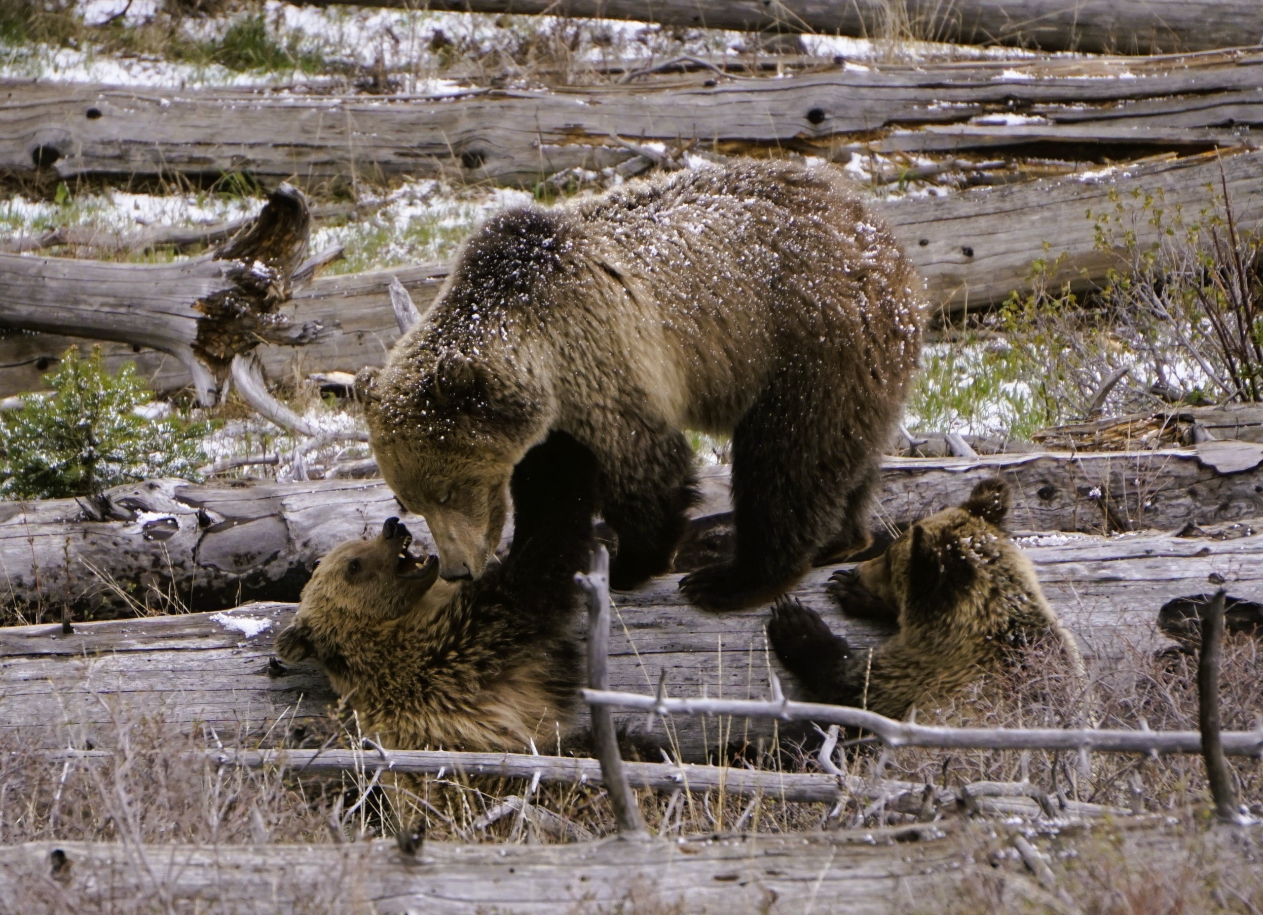
To reach the Bitterroot Mountains, bears must pass through a valley containing people, roads, garbage and fruit trees. “So knowing where they are more likely to end up is helpful to address things that could be difficult for humans or bears,” Sells told Live Science.
The human barrier
Across the Yellowstone-to-Yukon region, data indicates that the greatest threats to bears come from human contact and transportation infrastructure. Studies across west-central North America found that humans directly or indirectly caused between 77% and 90% of grizzly bear deaths from 1989 to 2015. Hunting, managed killings in urban areas and road and rail collisions all contribute to the toll.
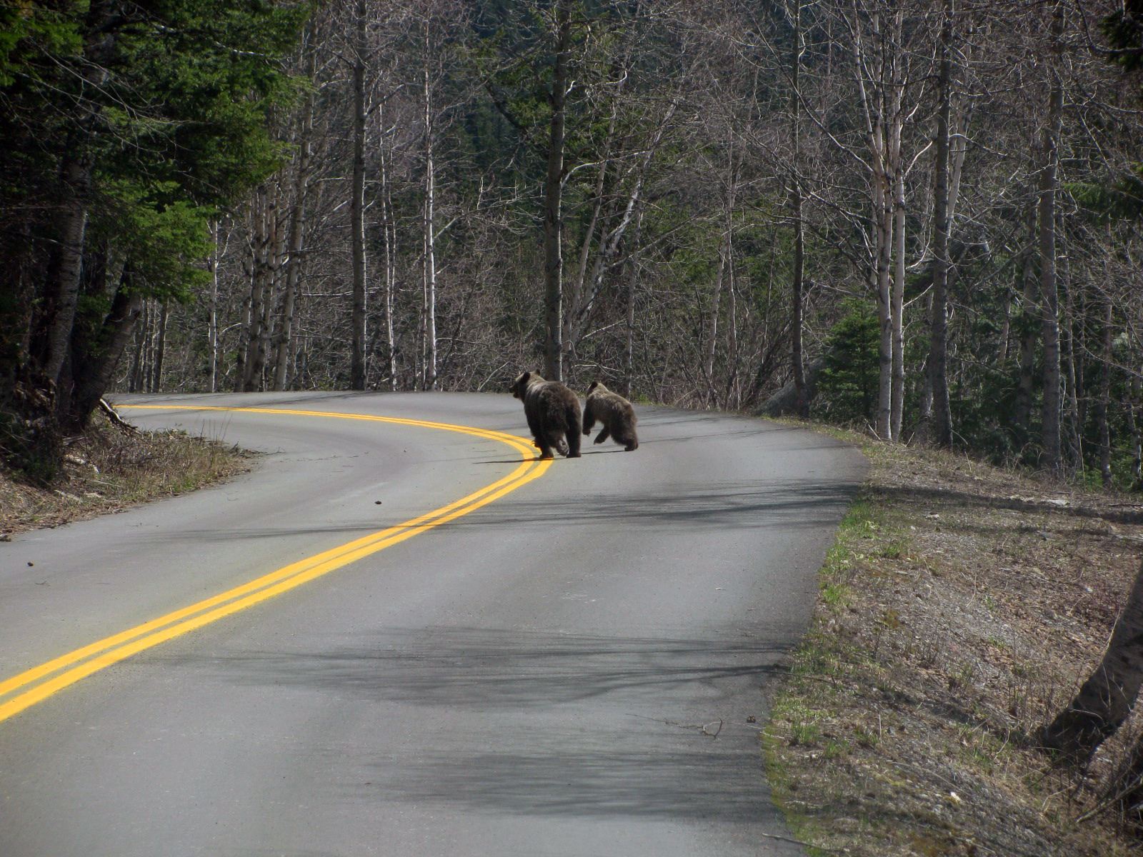
Wild bears usually avoid people, but some seek out developed areas because they have learned that those places can provide food. In British Columbia’s Elk Valley, people who value the natural surroundings may plant apple trees in their yards, attracting bears, said Clayton Lamb, a wildlife scientist at the nonprofit Biodiversity Pathways.
A bear that eats apples in a backyard may quickly be labeled a “problem bear,” Lamb said, “when really it is a ‘people problem.’”
Human recreation can also affect bears’ health and movement. Lamb’s research found that grizzlies try to avoid areas next to busy cycling and hiking trails.
In British Columbia’s West Kootenay region, Michelle McLellan, a wildlife ecologist at Biodiversity Pathways, used trail cameras and apps such as Strava Metro to track how people and grizzlies use trails. Bears use some trails to move quickly between feeding areas, but they have learned to avoid those most heavily used by people.
As a result, the Nelson Cycling Club decided to close certain trails in spring and warn riders about when and how to use trails that remain open. “Ride aware, make noise, slow down when needed,” the club said in its May newsletter.
Working with McLellan’s information, the club also cut back vegetation along trail sight lines so mountain bikers would be less likely to surprise bears. It built wooden platforms across sections of trail that clatter when bikes pass over them, giving bears early warning.
“The key is to not surprise them by making a lot of noise,” McLellan told Live Science. Grizzlies are more likely to attack when they are surprised.
Concentrating hiking and mountain-biking trails near towns can help focus recreation in specific areas, Lamb said. A network of accessible trails can reduce human encroachment into wilderness that provides important bear habitat.
“The goal would be to ensure that there’s sufficient recreation opportunities for people to stay healthy and connected to their local landscape while ensuring that wildlife can still move around and access their habitats,” Lamb said.
Learning to share the landscape
As people increasingly live, work and recreate in bear country, they need to recognize their effects on the animals, Servheen said.
“The bears never get a day off,” he said. “Every day, they’re trying to stay away from people and make a living in a place with multiple people on the landscape.”
Bears expend valuable energy avoiding people, and that strategy cannot work indefinitely as private development and recreation expand. “There’s going to be more conflicts with bears, and more dead bears,” Servheen said.
Bears living near people have already adapted in one important way: Lamb’s research shows that they have become mostly nocturnal, reducing their chances of encountering humans.
“So, we need to meet them where they are at and see what we can do to share the space,” Lamb said.
People can also make developed areas less attractive to bears by storing garbage securely and removing ripe fruit. “If you live rurally, you want them to be able to pass through your property but not linger near your home or in your front yard,” McLellan said.
Grizzlies have shown that they are adaptable and persistent. Lingenpolter tried dozens of times before apparently finding a route beneath the highway. But persistence cannot make dangerous infrastructure safe.
Maintaining stable bear populations will require behavioral data to guide land-management policies, create safe routes through developed areas and regulate recreation with bears in mind, Servheen said.
“If we want to have bears in the future, we need to think about the needs bears have for some level of space on the landscape,” he said.
Protecting that space across the Yellowstone-to-Yukon region will require more than land purchases and highway overpasses. Proctor said it will also require public education and a better understanding of bear behavior. If people understand why bears move and how they respond to threats, they can avoid attracting or surprising them—and may be more motivated to protect the species.
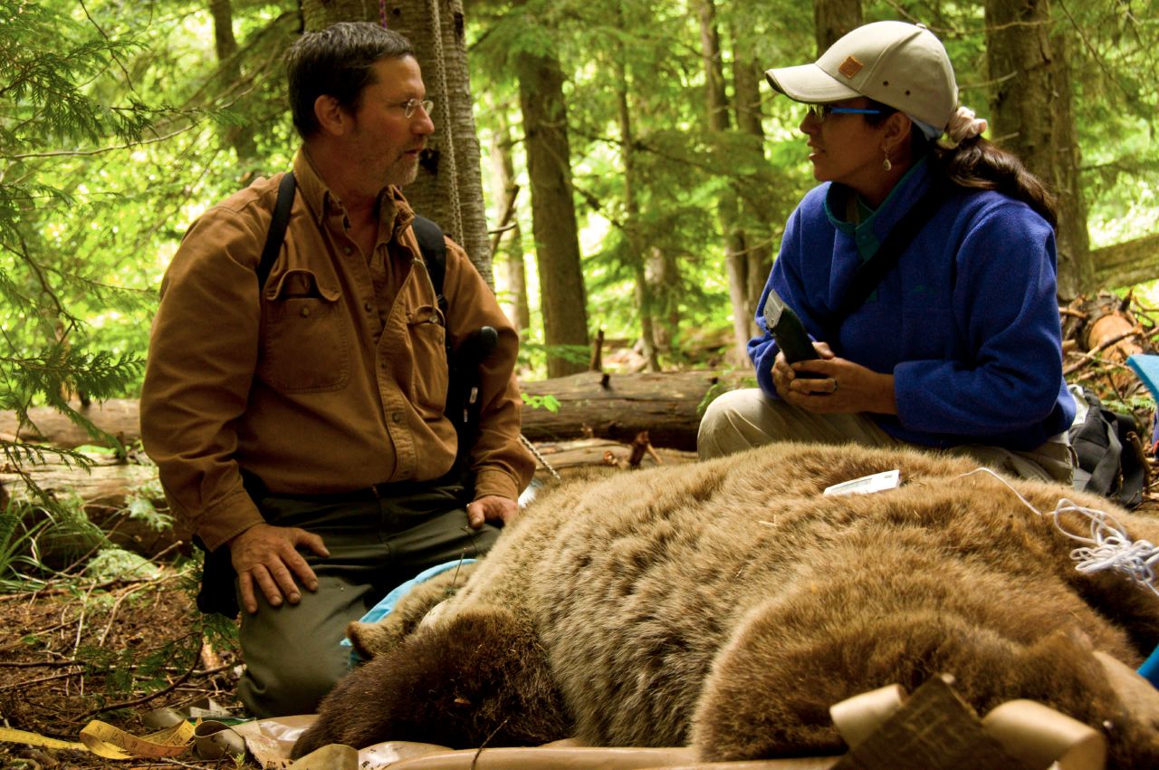
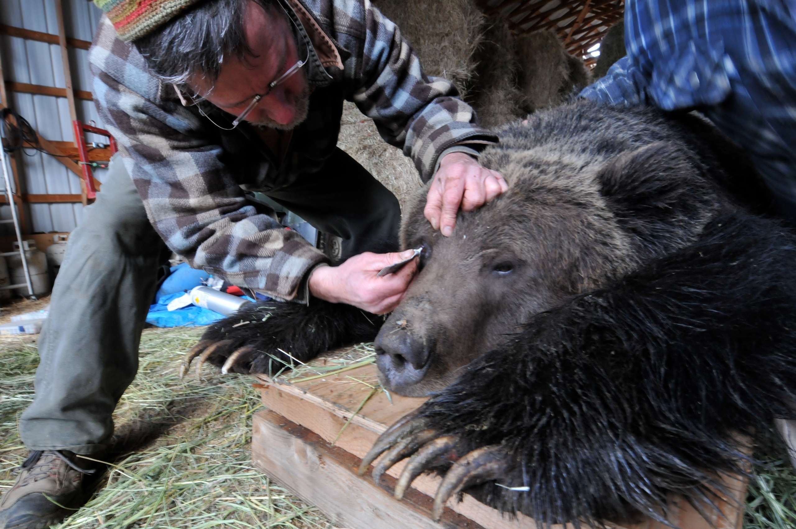
Early in his career, Proctor captured, immobilized and radio-collared a mother grizzly with two yearlings, or newly adolescent bears. While the research team worked, the young bears stayed quietly at a distance. When the mother began to stir, they approached cautiously. As her groggy head rested on a log, the yearlings gently examined her radio collar with their long-clawed paws. They then rested their heads directly on hers, forming a quiet pile of three bear heads.
“They just wanted to touch mom after this ordeal,” Proctor said. “Yes, grizzlies can be rough and dangerous but they can also be gentle at times.”
Reporting and travel for this story was supported by the Sitka Foundation and the Science Media Centre of Canada.
Source: www.livescience.com