


7
NASA’s Sentinel-6B Satellite Will Improve Hurricane Forecasts and Track El Niño
NASA and its European partners launched the Sentinel-6B satellite last November to improve hurricane forecasting, monitor rising sea levels, protect coastal infrastructure, and support commercial industries such as shipping. Sentinel-6B currently flies approximately 30 seconds behind its predecessor, Sentinel-6 Michael Freilich.
Together, the satellites form the Copernicus Sentinel-6/Jason Continuity of Service mission. They collect highly accurate measurements of ocean height, wave conditions, and wind speed during an El Niño event that oceanographers expect could become historically significant.
El Niño is a naturally occurring climate pattern in which warmer-than-normal Pacific Ocean waters alter weather conditions around the world. The data gathered by Sentinel-6B will help scientists study El Niño while improving hurricane intensity forecasts and coastal hazard planning.
How El Niño Changes Hurricane Activity
“This El Niño was a late-onset event,” said Josh Willis, Sentinel-6B project scientist at NASA’s Jet Propulsion Laboratory in Southern California. “It didn’t start until the middle of this year, but it’s just now reaching strength similar to what we saw in the satellite record during the big El Niño events of 1997 and 2015. We expect it to get big, and it’s already having a big impact.”
El Niño can disrupt rainfall, storms, and hurricane activity by redistributing heat throughout the Pacific Ocean. Under normal conditions, trade winds push warm surface water westward along the equator. During El Niño, those winds weaken, allowing warm water to move east toward South America.
These changes affect ocean temperatures, sea levels, and atmospheric conditions. They can also shift hurricane activity between the Atlantic and Pacific oceans, making accurate ocean observations essential for weather forecasting.
Sentinel-6B Data Could Improve Hurricane Forecasts
Sentinel-6B began providing low-latency data for weather prediction on July 15. It may take time for the information to be incorporated into research and operational forecasting models, but improved predictions could help emergency officials make faster decisions and save lives.
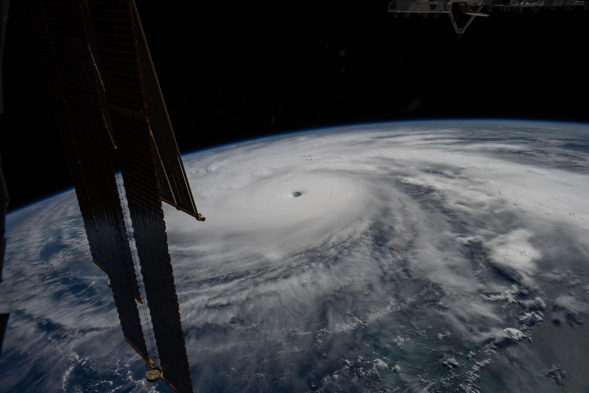
Data from the Sentinel-6 mission supports hurricane-tracking algorithms used by federal and state agencies. These forecasts can help authorities prepare disaster response operations, mobilize emergency resources, issue evacuation orders, and protect coastal communities.
Although tropical cyclones can take a week or longer to develop and reach the coast, hurricanes may intensify rapidly during the 48 hours before landfall. This leaves emergency planners with limited time to respond.
“Hurricanes are known to pick up speed very quickly in their final moments, so there’s a short grace period to decide what to do,” said Deirdre Byrne, an oceanographer and altimeter expert at the National Oceanic and Atmospheric Administration. “The goal is to predict how much and how quickly escalation will occur so that authorities can make appropriate decisions.”
Byrne oversees NOAA’s Satellite Ocean Thermal Content Suite, which has operated since 2012. Ocean height measurements from Sentinel-6B are expected to strengthen the system’s ability to estimate the heat available to developing hurricanes.
How Sentinel-6B Measures Ocean Conditions
Each Sentinel-6 satellite uses a radar altimeter to send thousands of radar pulses per second toward the ocean. By measuring the returning signals, the satellite can determine sea surface height, wave height, and ocean wind speed.
Sea surface height can reveal the amount of heat stored beneath the ocean surface. Warm water expands and raises the ocean surface, providing scientists with valuable information about ocean heat content and the potential intensity of hurricanes.
The satellites also carry a Global Navigation Satellite System Radio Occultation instrument, known as GNSS-RO. This instrument measures atmospheric properties such as temperature, pressure, and humidity, which are important factors in weather and climate forecasting.
“In terms of data quality, the Sentinel-6 mission is unparalleled,” Byrne said.
Nearly 40 Years of Ocean Observations
The Sentinel-6 mission extends a continuous record of precise ocean surface measurements that began with the TOPEX/Poseidon mission in 1992. The long-term data set allows scientists to identify changes in global sea levels, ocean circulation, climate patterns, and hurricane-related conditions.
Sentinel-6B is scheduled to eventually replace Sentinel-6 Michael Freilich as the reference satellite for global sea level measurements.
“The key is consistency, measuring the same way every time,” said Severine Fournier, JPL’s Sentinel-6B project associate scientist. “This allows us to predict hurricanes and, in turn, protect coastal communities and infrastructure.”
International Partnership Behind Sentinel-6B
The Copernicus Sentinel-6/Jason Continuity of Service mission is a partnership between the European Space Agency, EUMETSAT, NASA, and NOAA. The mission receives financial support from the European Commission and technical support from France’s CNES space agency.
EUMETSAT manages spacecraft operations, mission control, and the processing of altimeter science data on behalf of the European Union’s Copernicus program, with support from partner organizations.
NASA’s Jet Propulsion Laboratory, a division of the California Institute of Technology in Pasadena, provided three science instruments for each Sentinel-6 satellite: an advanced microwave radiometer, a GNSS-RO instrument, and a laser retroreflector array. NASA also contributed launch services, ground systems, data processors, and scientific support.
By combining precise sea level measurements with atmospheric observations, Sentinel-6B will help scientists better understand El Niño, improve hurricane intensity forecasts, and support efforts to protect coastal communities and infrastructure.
Source: www.nasa.gov