


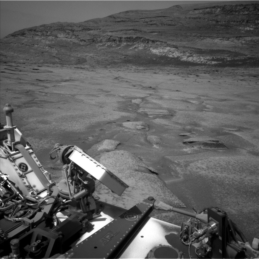
NASA’s Curiosity rover investigates a possible erosional supersurface on Mount Sharp
NASA’s Curiosity rover continued climbing Mount Sharp this week, studying the layered sedimentary rocks that preserve a record of Mars’ ancient geological history. Curiosity has reached a section where scientists identified a possible “erosional supersurface” by comparing orbital data with images of the surrounding buttes.
An erosional supersurface is a geological boundary formed when wind or water removes sediment across a large region before newer layers are deposited on top. These features are especially common in wind-blown, or aeolian, deposits and can mark a significant gap in the rock record. After observing this unusual section of Mount Sharp from a distance for several months, the Curiosity science team is now close enough to study it in detail.
Curiosity’s scientific instruments will provide a close-up, geologist’s-eye view of the possible supersurface, helping researchers determine its composition, structure, and centimeter-scale geometry. These observations could reveal important information about how Mars’ surface changed over time.
This week’s two science plans focused on imaging the possible erosional supersurface from multiple locations. Over the weekend, Curiosity reversed away from the feature to capture a broader view of the exposed layer. That position allowed the rover to collect two large Mastcam mosaics spanning the entire surface on Monday.
ChemCam also supported the investigation by capturing long-distance Remote Micro-Imager (RMI) images of the most scientifically interesting areas. The rover examined rocks at the base of the surface using the MAHLI camera and Alpha Particle X-ray Spectrometer (APXS) at a target named “Monte Darwin.” ChemCam’s laser also analyzed targets called “Patacamaya,” “Tarucachi,” and “Mojoncasa.”
Monday’s drive brought Curiosity closer to the possible supersurface while the rover captured MAHLI and Mastcam images of its wheels. The next planned drive is expected to take Curiosity directly to the base of the geological layer.
Using images from Monday’s drive, the science team selected a scientifically valuable location for Curiosity to cross the surface. Rover planners also had to account for challenging terrain, including sandy patches and steep slopes. The chosen route appears to offer one of the safest and most accessible paths for the large Mars rover.
If conditions remain favorable, Curiosity may climb up and over the possible erosional supersurface next week, providing a closer look at one of Mount Sharp’s most intriguing geological features.
Source: science.nasa.gov