


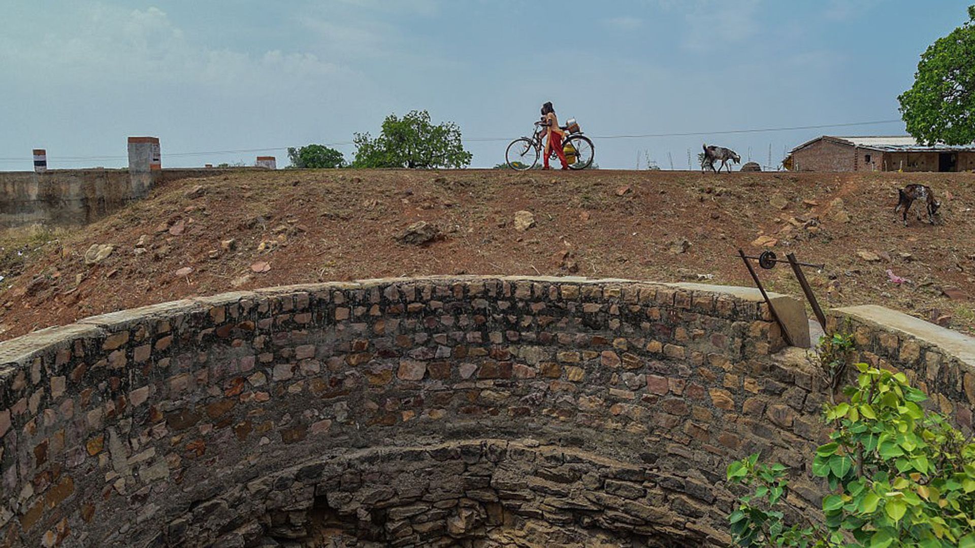
Earth Is Losing Freshwater Faster Than Scientists Thought, Satellite Study Finds
Earth’s continents are losing freshwater much faster than previously estimated, largely because groundwater pumping in regions such as northern India, southern Iran and parts of the United States is about 45% more severe than earlier studies suggested.
A new study used satellite data collected from 2002 to 2025 to map changes in freshwater storage around the world. Using higher-resolution techniques, researchers found that regional increases and decreases in terrestrial water storage were, on average, 33% more pronounced than previously estimated.
The study also found that the amount of freshwater lost was substantially greater than the amount gained, highlighting the urgent need for better water management to prevent a worsening global water crisis.
“The situation is very dire in many places,” Hrishikesh Chandanpurkar, a hydrologist and co-founder of the nonprofit Evergreen Resilience Institute who was not involved in the study, told Live Science.
Satellite data reveals freshwater hotspots
The researchers found that freshwater storage changes are driven by a combination of human activity and climate factors, according to lead author Mary Michael Forrester O’Neill, a researcher at the University of Maryland’s Interdisciplinary Center for Earth System Science and the Hydrological Sciences Laboratory at NASA’s Goddard Space Flight Center.
“Earlier studies identified broad patterns of long-term freshwater loss or gain, but resolution limitations meant we couldn’t tell with certainty how much was due to human activity or climate change,” Forrester O’Neill told Live Science in an email.
The new study used geostatistical methods to distinguish the effects of human activities, including irrigation and dam construction, from climate-related factors such as rainfall and drought.
Researchers identified 94 regions where freshwater storage changes exceeded background levels. Of those, 40 were primarily affected by human land and water use rather than climate change or global warming. The team then examined these hotspots to identify where water conservation efforts could have the greatest effect.
“Water managers and downstream communities need to know not just ‘we are losing water somewhere in this country,’ but which aquifers, reservoirs or irrigation districts are responsible for particular trends in large-scale freshwater storage,” Forrester O’Neill said.
Why some regions gained freshwater while others lost it
Freshwater storage increased in 22 of the 40 human-dominated hotspots. The gains were linked to rain-fed agriculture, surface-water irrigation, reservoir storage and deforestation, which can reduce evapotranspiration and groundwater consumption by plants.
Freshwater losses in the remaining 18 hotspots were associated with groundwater irrigation and the construction of canals, diversion channels and other water infrastructure.
The study found that human water use was an important driver of freshwater storage change on every continent except Australia. In Antarctica, climate factors had a greater influence, Forrester O’Neill said. The researchers noted that local freshwater gains and losses can affect water availability downstream and in surrounding regions.
Groundwater depletion threatens major food-producing regions
One region that gained freshwater was central Russia, home to the Boguchany Reservoir. The large artificial lake was filled in 2012 after the construction of a hydroelectric dam.
By contrast, northern India, southern Iran and the southern High Plains of the United States have experienced major freshwater losses. The southern High Plains extend across parts of Colorado, Kansas, New Mexico, Oklahoma and Texas, where major grain-producing areas depend heavily on groundwater for irrigation.
The findings are especially concerning because severe groundwater depletion overlaps with regions where crops are being irrigated unsustainably. Previous research has identified excessive groundwater use in important food-producing areas including the U.S. High Plains, California’s Central Valley, northern India, Pakistan, northern China and the Fertile Crescent.
“We find that the pace of depletion in these regions is much more severe than previously estimated, raising concerns about food security,” Forrester O’Neill said.
NASA’s GRACE satellites sharpen the picture
The study used data from NASA’s Gravity Recovery and Climate Experiment, or GRACE, mission and its successor, GRACE Follow-On. The satellites detect subtle changes in Earth’s mass, including shifts caused by water moving through aquifers, reservoirs and surface-water systems.
Unlike earlier studies, the new research resolved freshwater changes at a much higher resolution. That allowed scientists to identify regional hotspots more precisely, similar to the way corrective lenses bring a blurred image into focus.

“This is not an entirely new technique, but it’s the first time we’re applying it to regional hotspots and trying to figure out what it means,” Chandanpurkar said.
Scientists cannot yet predict when aquifers will run dry
Although the study shows that freshwater depletion is accelerating in some regions, it cannot determine exactly how many years or decades humans can continue using water at current rates.
That is partly because GRACE satellites measure the rate of change in water mass rather than the total amount stored in an aquifer. Without an independent estimate of the water remaining underground, scientists cannot calculate a precise depletion date or predict when a water system might collapse.
However, groundwater pumping can eventually become too expensive in areas where water tables continue to fall. A drop of as little as 12 feet, or a few meters, can leave a significant portion of a well dry. The cost of drilling deeper wells may place the greatest burden on communities that are already at risk.
Water-scarce regions facing severe groundwater depletion include Iran, Saudi Arabia, Syria, Türkiye, Iraq and Libya. Mexico may also face increasing pressure as recorded well depths rise while surface-water storage declines.
“Our biggest concern is the rising costs and inequities of continuing to reach water that continues to recede deep underground, and the strain on existing surface-water resources,” Forrester O’Neill said.
Chandanpurkar described groundwater depletion and continental aridity as major problems, adding that water is often undervalued. The researchers say the new high-resolution view of Earth’s freshwater supplies could help governments and water managers identify the aquifers, reservoirs and irrigation systems most in need of action.
The study was published in Proceedings of the National Academy of Sciences.
Reference: O’Neill, M. M., Rodell, M. and Loomis, B. D. (2026). “Spatially sophisticated satellite gravimetry captures human footprints in global terrestrial water storage trends.” Proceedings of the National Academy of Sciences, 123(38), e2600775123. Read the study.
Source: www.livescience.com