


Earth’s Center of Gravity Moves Every Season—Here’s Why
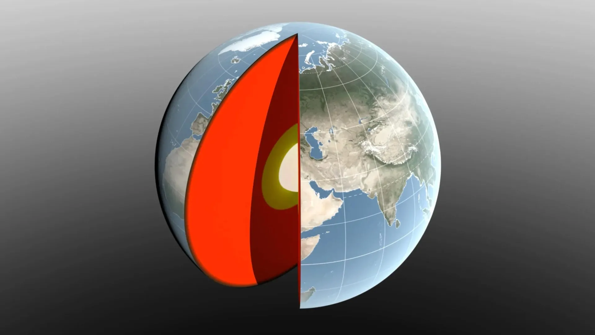
Earth’s center of gravity is not completely stationary. As water, ice, and air move around the planet with the seasons, they redistribute enough mass to shift Earth’s center of mass back and forth by a fraction of an inch relative to its geometric center.
NASA scientists closely track this subtle movement because Earth’s center of gravity is a vital reference point for satellite navigation, mapping, and surface-altitude measurements.
Researchers led by NASA’s Jet Propulsion Laboratory (JPL) in Southern California have developed a method designed to measure these seasonal changes with greater precision. Their techniques and results are reported in International Geophysical Journal.
The study shows how major seasonal changes—including melting snow, shifting ocean water, and dense winter air—redistribute vast amounts of mass across Earth’s surface.
Earth’s Center of Mass Is Always Moving
Scientists have spent decades developing ways to define and locate Earth’s center of gravity using observations from space. The challenge is that the center does not remain in one fixed location.
If Earth behaved like a perfectly solid blue marble, its center of mass would coincide with its geometric center. Instead, the planet responds to changes in the weight of its water, ice, and atmosphere. As these materials move, Earth’s center of mass shifts around its geometric center by several millimeters.
Determining the exact size of that movement has proven difficult. The two most recent international estimates, produced in 2017 and 2023, differ by 0.27 inches (7 millimeters)—approximately the height of three stacked nickels. That discrepancy is about as large as the movement scientists are trying to measure.
To reduce that uncertainty, JPL geoscientist Donald Argus led the development of a new approach that relies on highly accurate satellite tracking.
Gravity causes satellites to orbit around Earth’s center of mass. As that center moves, scientists can detect minute changes in the distance between an orbiting satellite and a tracking station on the ground.
How Satellites Help Pinpoint Earth’s Center
Scientists have long used satellites to determine the location of Earth’s center of gravity. Two dense metal satellites, launched in 1976 and 1992, were built specifically for that purpose.
Laser Geodynamics Satellites (LAGEOS 1 and 2) resemble 900-pound (408-kilogram) disco balls covered in reflective prisms. Ground stations spread across more than 20 countries fire lasers at the satellites and precisely measure the signals that return.
One challenge with this method is that laser-tracking stations are not evenly distributed around the world.
The new approach addresses this limitation in two ways. Researchers are combining laser measurements with GPS tracking and orbital information from multiple satellites in low Earth orbit, allowing them to track objects over a wider range. The method also accounts for how changes in the weight of water and ice bend Earth’s crust. As a result, the ground station itself moves slightly when the surface beneath it shifts.
Argus developed the technology in collaboration with JPL’s Satellite Orbit Determination Team, scientists at the University of Nevada and the University of Montana, and the Helmholtz Center for Earth Science in Germany.
“We now estimate that Earth’s center of mass moves back and forth each year by about half as much as was thought eight years ago,” Argus said. “Our findings suggest that the mass of Earth’s water and air moving between hemispheres is smaller than previously thought.”
Although the distances involved are small, their importance extends far beyond the laboratory.
“These movements may seem small, but our modern world relies on extremely precise positioning measurements,” said Felix Landerer, one of the study’s co-authors at JPL. “Unraveling and understanding the mechanisms that change frames of reference will help us build better frames of reference that will ultimately benefit mapping and navigation, from global shipping logistics to precision agriculture.”
How Snow, Rain, and Ocean Water Shift Earth’s Balance
Researchers tracked the seasonal movement of Earth’s center of gravity and traced it to three main sources: the ocean, the atmosphere, and continental water. Continental water includes land ice, snow, lake and river water, soil moisture, and groundwater.
As water and air accumulate in different parts of the world, their effects vary throughout the year.
The heaviest snowfall in North America and Eurasia occurs in March. This added mass shifts Earth’s center of gravity about 3 millimeters toward the North Pole.
In April, rainwater levels in the Amazon Basin reach their seasonal maximum, with approximately 2,400 gigatonnes of rain stored there. That huge concentration of water pulls Earth’s center of gravity 2.2 millimeters toward South America.
A later seasonal contribution comes from Southeast Asia. Monsoon water reached 600 gigatonnes in November, six months after the Amazon peak, adding less to the annual fluctuations.
The Pacific Ocean Has an Outsized Influence
Seawater also plays a major role in seasonal changes.
From August to October, snowmelt and rainfall increase the mass of the oceans, pushing Earth’s center of gravity toward the South Pacific Ocean.
The Pacific Ocean is so vast that changes in its mass can exceed gains and losses in other ocean basins. Seasonal changes in the Mediterranean Sea, Red Sea, North Sea, Baltic Sea, and Barents Sea also have smaller effects on the movement of Earth’s center.
The atmosphere adds another layer to the annual cycle.
The researchers used a model created by the European Center for Medium-Range Weather Forecasts to estimate how seasonal atmospheric changes affect Earth’s center of gravity. Their analysis found that around December 21 each year, cold, dense winter air shifts the balance toward Arabia, Asia, and North Africa. A similar effect occurs in South America and South Africa around June 21.
GRACE-FO Satellite Confirms Massive Seasonal Changes
The mass estimates produced by the new analysis are consistent with observations from the Gravity Recovery and Climate Experiment Follow-On Mission (GRACE-FO).
Launched in 2018, GRACE-FO consists of two satellites that measure monthly changes in Earth’s gravitational field. Many of those changes are caused by water moving above and below the planet’s surface.
The satellites travel together in a highly precise formation. When the lead spacecraft passes over an area containing extra mass, such as a flooded river basin, the stronger gravitational force changes the distance between the two satellites by a small but detectable amount.
GRACE-FO is a partnership between NASA and the German Research Center for Geosciences (GFZ).
Scientists are already preparing the next generation of these measurements. The GRACE-Continuity (GRACE-C) mission is targeted for launch in late 2028 and aims to continue the nearly 25-year history of the GRACE series, which tracks how water and matter move around Earth.
Source: www.sciencedaily.com