


Landslide Research in Alaska. Air Quality in Atlanta. A Raging Fire Cloud in the West. From the Arctic Rim to rural communities, NASA’s latest suborbital Earth Venture missions are set to deliver vital scientific insights benefiting both the United States and beyond.
This initiative encompasses six projects that will engage hundreds of scientists and pilots from NASA, the U.S. Navy, universities, and various agencies over the coming years. Although the research covers a diverse range of topics, a key feature of suborbital missions is the employment of advanced sensors on board aircraft.
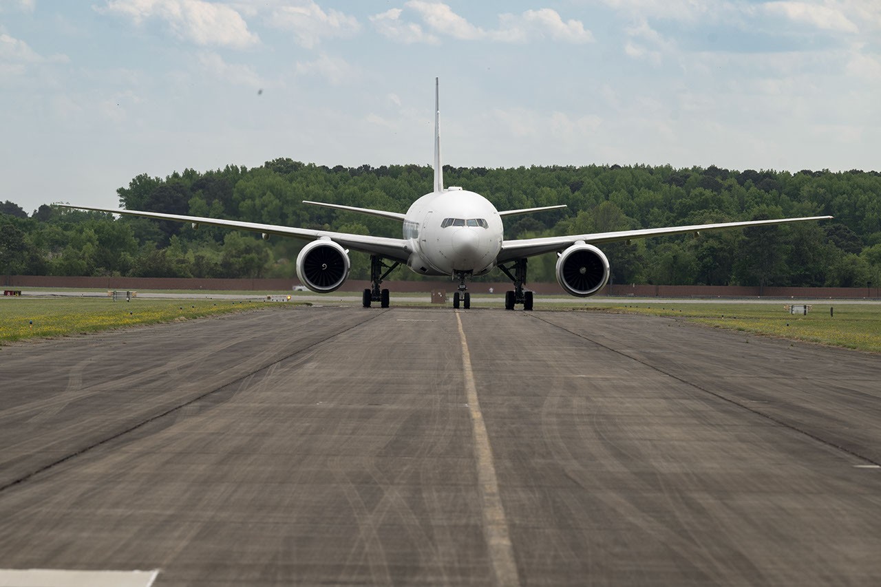
Through remote sensing, aircraft serve as a critical link between ground-based instruments and satellites. Data collected via planes, helicopters, drones, and balloons can bridge gaps in computer models utilized by weather forecasters, urban planners, and numerous other professionals.
The first project to kick off this summer is the Injection Plume and PYrocumulonimbus Experiment (Inspiration), led by the Naval Research Institute. Operating from headquarters in Colorado, the team will investigate one of Earth’s least understood severe weather phenomena: the ‘fire clouds’ that emerge when extreme wildfires generate enough heat to trigger thunderstorms.
These exceptional storms, laden with smoke and crackling lightning, can create navigation blind spots for pilots and ignite new fires below. Monitoring and mapping these perilous storms in real-time will enhance future predictions. Multiple aircraft, including NASA’s high-altitude ER-2 flying from Montana, will carry sophisticated instruments over the wildfire-impacted storm system, including state-of-the-art infrared wildfire trackers developed at NASA’s Jet Propulsion Laboratory (JPL) as part of the FireSense program.
Emissions from agriculture—an important but often overlooked component of Earth’s land-atmosphere systems—will also be studied as part of the FarmFlux mission. This project, launching this year, will deploy over a dozen sensors to monitor ozone, methane, ammonia, particulates, and other pollutants emitted by farmland and livestock farms stretching from the Midwest to California’s Central Valley. These emissions significantly impact human health, climate change, and stratospheric ozone. NASA’s Goddard Space Flight Center in Greenbelt, Maryland, alongside Colorado State University and Boston University, is leading this mission.
Air quality concerns affect two major North American cities: Atlanta and Mexico City. However, the underlying causes differ due to variations in weather and terrain. To explore these distinctions, the project utilizing hemispheric air transport measurements of air quality (HAMAK) will investigate pollution levels in these capitals and assess how satellite data can enhance prediction and mitigation strategies. The team will launch two aircraft at varied altitudes; NASA’s P-3B will fly close to the ground to directly measure particulate and gaseous pollutants, while the recently acquired P-3B will soar at higher altitudes using remote sensors to map pollution. NASA’s Langley Research Center in Hampton, Virginia, spearheads this mission.
The Arctic is warming at a rate twice that of the global average, making current data crucial for communities facing rapid changes. The Snow for Flow mission, led by the University of Arizona, aims to assess how glaciers in northern regions are retreating. This project will cover remote ice landscapes across Alaska, the Yukon Territory, the Canadian Arctic, Greenland, and Svalbard in Norway, utilizing a modernized World War II-era aircraft equipped with advanced scanning laser altimeters and custom radars. Observations, combined with satellite data and advanced snowfall and glacier flow models, will enhance our understanding of glacier dynamics in different Arctic regions, elaborating on both surface and subsurface conditions.
As permafrost thaws, rivers at the gateway to the North Pole become conduits for carbon and sediment. The Conveyor Belt, led by NASA Goddard and the City University of New York, investigates the interactions between rivers, lagoons, and estuaries along Alaska’s northern slope and the Arctic Ocean. This project, dubbed the Forte, employs optical and radar measurements from satellites, aircraft, high-tech research vessels, drones, and underwater autonomous systems to monitor marine life, water flow, and chemistry. The team will collaborate with local and tribal communities to address emerging local needs and decision-making priorities.
In 2017, when a slow-moving landslide in California abruptly collapsed, burying part of a coastal highway, scientists at NASA JPL sought to understand the impact of precipitation variations. JPL examines how water infiltration destabilizes slopes globally. The Landslide Change Characteristics Evaluation Experiment (RACK) utilizes airborne synthetic aperture radar and ground-based sensors to monitor responses of California’s slopes to intensified droughts and heavy rainfall. This initiative also addresses emerging landslide risks in Alaska, where receding glaciers may trigger large-scale slope movements and potential tsunamis.
Established in 2007 on the National Research Council’s recommendation, NASA’s Earth Venture suborbital program is designed for agility and high-impact research. Over the years, the team has investigated various phenomena, including snowstorms, coral reefs, and ocean eddies, contributing invaluable knowledge to the field.
Source: science.nasa.gov