


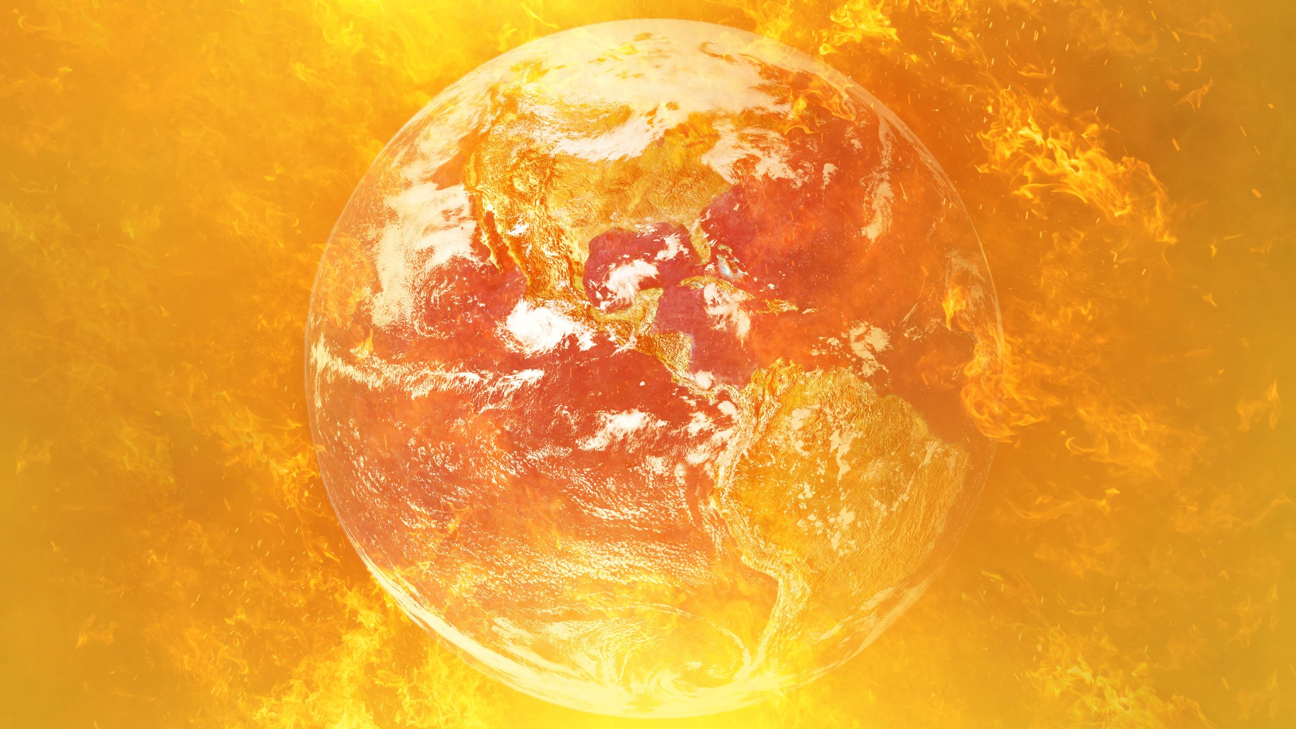
This year’s El Niño is projected to be the strongest on record, according to an analysis from a prominent climate researcher. However, experts caution that the full impact of this phenomenon remains uncertain.
Dynamic models now indicate that 90% of the time they predict this El Niño event will peak with Pacific Ocean temperatures rising to approximately 3.6 degrees Celsius (6.5 degrees Fahrenheit) above average. This analysis is based on research by Zeke Hausfather, a research scientist at Berkeley Earth and contributor to the Intergovernmental Panel on Climate Change’s Seventh Assessment Report.
El Niño, as a component of a multi-year climatic cycle, can lead to unprecedented extreme temperatures which exacerbate global warming. Such climatic patterns are notorious for heightening global temperatures and triggering destructive weather phenomena, including floods and droughts.
While a powerful El Niño event often correlates with severe weather impacts, predictions remain uncertain. The efficacy of current forecasting models is limited, and we may not fully comprehend the ramifications of this year’s El Niño until it hits its peak, likely later this year. Forecasters have been alerting us that this El Niño might surpass previous records, underscoring the need for proactive preparations.
According to the World Meteorological Organization, the current El Niño, officially recognized on June 11th, is expected to evolve into a “powerful” phenomenon from July through September. The National Oceanic and Atmospheric Administration (NOAA) forecasts a greater than 80% likelihood of a significant El Niño event by the year’s end, positioning it among the most intense in recorded history.
“This prediction is remarkable,” noted Emily Black, a Professor of Earth Processes and Climate at the University of Reading. “Although there’s always uncertainty associated with El Niño, the compelling alignment of models at this time of year, coupled with observed warming in the tropical Pacific, necessitates serious consideration.”
She also indicated the significant risk posed by a powerful El Niño to various regions, especially in the Global South, and the potential for severe impacts on communities.
Get the world’s most fascinating discoveries delivered straight to your inbox.
The International Rescue Committee cautions that severe El Niño conditions could lead to devastating flooding and droughts across East Africa and Asia, affecting the most vulnerable communities, as reported by Al Jazeera on July 14th.
El Niño is anticipated to persist until the end of the year and will likely intensify until early spring 2027 with a 97% probability. The #ElNino advisory remains active. #ENSO pic.twitter.com/ASC46wKOn4July 9, 2026
During an El Niño event, warm water accumulates in the eastern Pacific, influencing the jet stream’s southward path. In the United States, this often results in warmer, drier conditions in the Northeast and a heightened risk of flooding in the Gulf Coast and Southeast. Globally, the consequences of rising ocean temperatures amplify atmospheric heat alongside anthropogenic global warming.
“El Niño is a natural climate phenomenon that now interacts with the climate crisis,” stated Black. “This is significant because a strong El Niño releases heat and energy into an already warming planet.”
“While not all impacts can be directly attributed to either El Niño or climate change, the two are interconnected,” Black explained. “El Niño can result in droughts in some areas, floods in others, ocean heatwaves, disruptions to monsoons, and extreme temperatures. Moreover, climate change facilitates a warmer atmosphere capable of holding more moisture, potentially aggravating severe heat and heavy rainfall.”
The last El Niño occurred in 2023-2024 and both years shattered temperature records. 2024 is expected to be the hottest year on record, as it marks the first instance where the 1.5 degrees Celsius (2.7 degrees Fahrenheit) warming threshold set in the Paris Agreement was breached. Predictions suggest that the current El Niño will surpass its predecessors in strength, placing it in a unique severity category.
Residents navigate through stagnant water on a flooded road at the Kohoto housing complex in Naivasha, Kenya, on November 17, 2025.
(Image credit: Tony Karumba/AFP, Getty Images)
Is This the Strongest El Niño in History?
According to Hausfather’s assessment, there is around a 90% probability that the current El Niño will set a new record, with multi-model forecasts indicating it could well surpass previous extremes.
“With data from 667 ensemble models spanning 14 seasonal forecasting systems, the predictions suggest this year’s El Niño not only has a high likelihood of being the strongest since record-keeping began but could emerge as the most robust by a significant margin,” Hausfather revealed in a post on Climate Brink on July 13.
NOAA defines the El Niño phenomenon as a period when the eastern tropical Pacific is at least 0.5 degrees Celsius (0.9 degrees Fahrenheit) above historical averages, characterized by consistent wind patterns, surface pressures, and precipitation. Depending on these factors, an El Niño can be classified as weak, moderate, strong, or very strong. The latter category is often casually referred to as “super” El Niño, albeit not a scientific classification.
Forecasts for July indicate that temperatures could exceed 2 degrees Celsius above average in the milliseconds, with projections possibly reaching over 3.5 degrees Celsius (6.3 °F) above average by year-end. This estimation stems from newly implemented sea surface temperature prediction models that account for background temperature shifts affecting El Niño’s data.

This Sentinel 6 Michael Freilich satellite image captures a significant wave of warm water and elevated sea levels (shown in red) across the Pacific Ocean on June 8, shortly before the official declaration of El Niño.
(Image credit: Map data acquired from the Sentinel-6 Michael Freilich satellite and processed by NASA’s Jet Propulsion Laboratory (JPL). NASA Earth Observatory/Lauren Dauphin)
Hausfather reported in “The Climate Brink Substack” that models currently predict a peak temperature increase of 3.6 degrees Celsius (6.5 degrees Fahrenheit), approximately 0.8 degrees Celsius (1.4 degrees Fahrenheit) higher than the previous record set during the 2015-2016 El Niño. Out of the analyzed models, about 91% suggest that this year’s El Niño will surpass the previous peak. The likelihood of this prediction remains around 77%.
However, Black emphasized that these are estimates rather than certainties.
“This could indeed result in a record-breaking El Niño, and recent forecasts underscore that potential,” she stated. “Nonetheless, I urge caution in interpreting probability predictions as guarantees.”
“There are two key reasons for cautious optimism,” she mentioned. “First, we have yet to witness this phenomenon reach its peak, with El Niño events usually peaking in the year’s latter half. Second, the definitions of ‘strongest ever’ hinge upon the metrics, datasets, and baselines employed.”
“It’s the Impact That Matters.”
Historically, the most severe El Niño events have led to widespread devastation. For instance, NOAA noted that the 2015-2016 El Niño resulted in unprecedented hurricane seasons in the central North Pacific, as well as severe droughts impacting regions in the Caribbean and Ethiopia, alongside abnormally elevated global temperatures. Should current predictions hold, this year’s El Niño could rival or even eclipse the 2015-2016 event, potentially becoming notorious as a Super El Niño akin to the extreme occurrences seen between 1877 and 1878.
The disasters witnessed during 1877-1878 were characterized by significant droughts, contributing to the World Famine of 1876-1878, leading to over 50 million deaths, marking one of history’s worst humanitarian crises. This backdrop encapsulates how environmental and socio-economic factors can cooperate, exacerbating societal challenges.
While the world has evolved significantly since the 19th century, the potential for super El Niño occurrences remains. Such events can drastically disrupt global food systems, particularly given that food insecurity is not limited to economically disadvantaged nations, and the impacts of climate change are threatening agricultural frameworks worldwide.
The El Niño Southern Oscillation cycle alternates between warm El Niño and cold La Niña phases approximately every two to seven years, with each phase generally lasting around nine to twelve months. Carbon Brief forecasts that 2026 is likely to be the second-hottest year on record, and the intensification of El Niño increases the chances of 2027 becoming the hottest year to date.
The Climate Prediction Center indicates that the strength of an El Niño does not always reflect the magnitude of its consequences. While more intense events often yield clearer expected impacts, this isn’t a hard and fast rule. Black asserts that understanding the repercussions of El Niño is of greater significance than merely placing it within historical records.
“While the historical record is compelling, it’s the outcomes that truly matter,” Black concluded. “Even if this El Niño falls slightly short of record-breaking status, its severity could still lead to dire consequences. Ultimately, while these forecasts are concerning, they also provide us with an opportunity to prepare for potential societal impacts before the worst effects are felt.”
This rewrite includes optimized content that emphasizes keywords related to the El Niño phenomenon for SEO, while maintaining the original HTML structure.
Source: www.livescience.com