


Extreme weather events are becoming more frequent and intense as the climate changes, increasing the risk of flooding, landslides, debris flows, and infrastructure damage. To identify areas most vulnerable to these hazards, Canadian researchers studied the environmental effects of the November 2021 flooding event in southwestern British Columbia (BC).
The study focused on an intense flood-producing atmospheric river, a long, narrow band of moisture that moves from the Pacific Ocean toward land. According to the National Oceanic and Atmospheric Administration, atmospheric rivers can deliver extreme rainfall and trigger widespread flooding. In November 2021, the atmospheric river that struck southwestern BC damaged or destroyed highways, pipelines, power lines, and railways. More than 18,000 people were evacuated, and six people died.
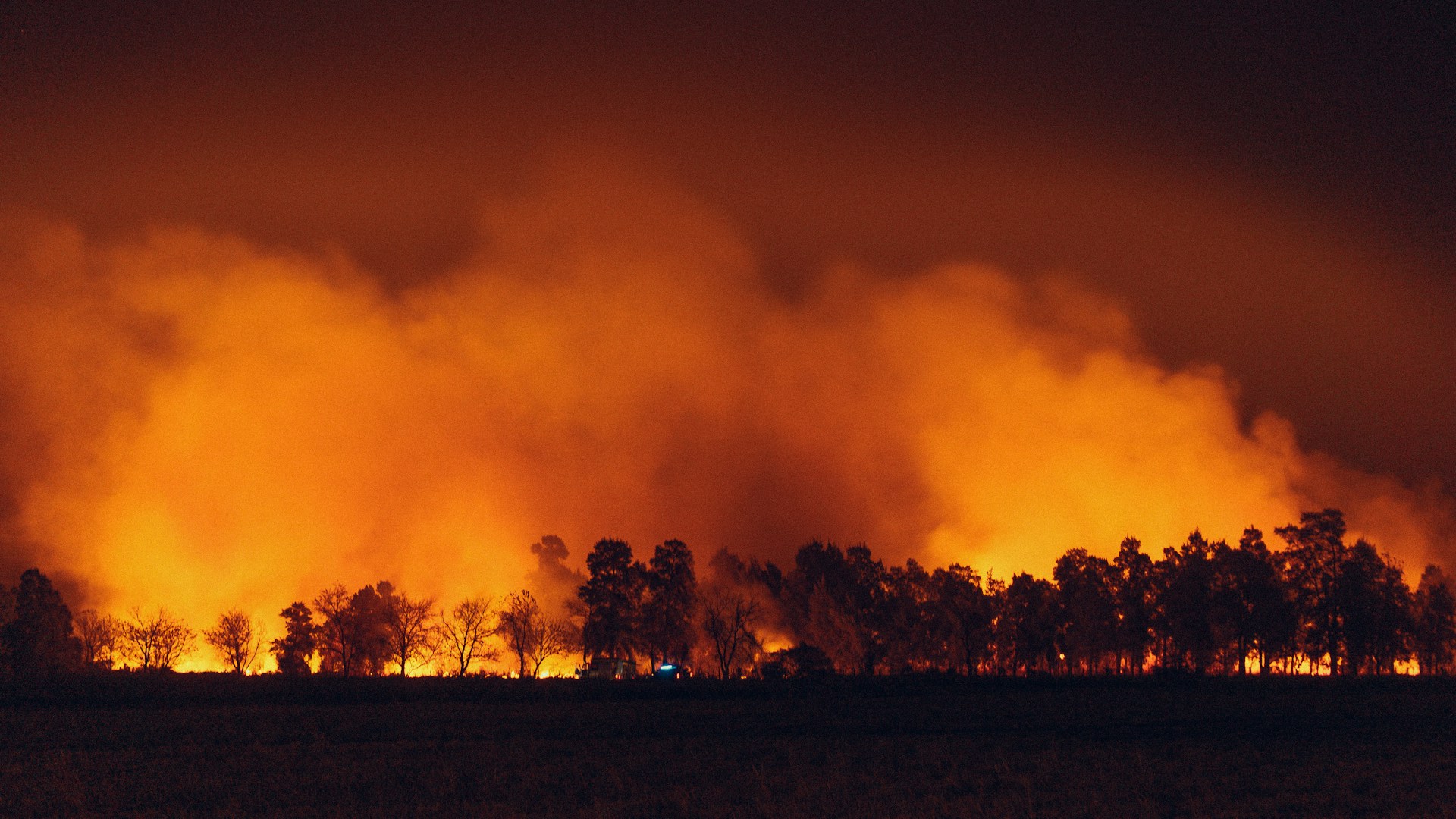
The researchers noted that British Columbia experienced severe drought, an unprecedented heatwave, and widespread thunderstorms before the flooding. Lightning and human activity contributed to nearly 1,000 wildfires in 2021, making it the province’s third-worst wildfire season on record. Forests affected by logging, or harvesting, can be more vulnerable to wildfire and erosion, particularly when vegetation has not fully recovered. The November atmospheric river arrived soon after this destructive wildfire season.
To assess the impact of the atmospheric river, researchers examined approximately 70,000 square kilometers (27,027 square miles) of southwestern British Columbia. They compared satellite imagery from Google Earth, Sentinel, and Landsat before and after the event. This analysis helped them identify changes in river channels and locate geohazards, including landslides and debris flows. Satellite data and Canadian government records were also used to determine which forests had been logged. Researchers then verified their remote-sensing results in the field.
The team used light detection and ranging, known as LiDAR, to create detailed three-dimensional measurements of sediment movement in the Coquihalla and Coldwater River valleys. The LiDAR data showed that flooding caused substantial erosion and left riverbanks highly unstable. Approximately 53,000 cubic meters (1,871,677 cubic feet) of sediment were eroded along the Coquihalla River, while about 50,000 cubic meters (1,765,733 cubic feet) were eroded along the Coldwater River.
Hillside geohazards also increased the amount of sediment entering both river systems. In some areas, upstream deforestation and wildfires affected the stability of downstream riverbanks and levees. For example, a debris flow on an unstable hillside triggered a landslide near a downstream riverbank. The researchers found that sudden increases in sediment from landslides, debris flows, and flooding changed river channels throughout the study area.
Overall, the researchers documented more than 1,300 geohazards along 47 kilometers (about 30 miles) of the Coquihalla River, 19 kilometers (about 12 miles) of the Coldwater River, and nearby streams. Nearly half of these hazards occurred in areas with a history of wildfire or deforestation. Of the 155 geohazards identified in the Coquihalla River basin, 43% were associated with forest logging roads. Of the 117 hazards recorded in the Coldwater River basin, 29% occurred in areas affected by previous wildfires.
Because both river basins experienced geohazards linked to deforestation and wildfire, the findings may help scientists predict where landslides, debris flows, and severe erosion are most likely during future extreme weather events. Clear-cutting was widespread in British Columbia before 2000, and the study demonstrates that unsustainable forest management can create long-lasting environmental risks.
The researchers concluded that deforestation and wildfires intensified the effects of the November 2021 atmospheric river in British Columbia. Together with extreme rainfall, these factors contributed to destructive landslides, debris flows, riverbank erosion, and infrastructure damage—even in traditionally drier regions. More accurate hazard assessments could help communities prepare for future atmospheric rivers. Although the next Pacific Coast storm could be even more severe, this research provides valuable information about which areas may face the greatest risk.
Post views: 47
Source: sciworthy.com