


NASA’s SkyFall Mars Helicopters Will Map the Red Planet From the Air
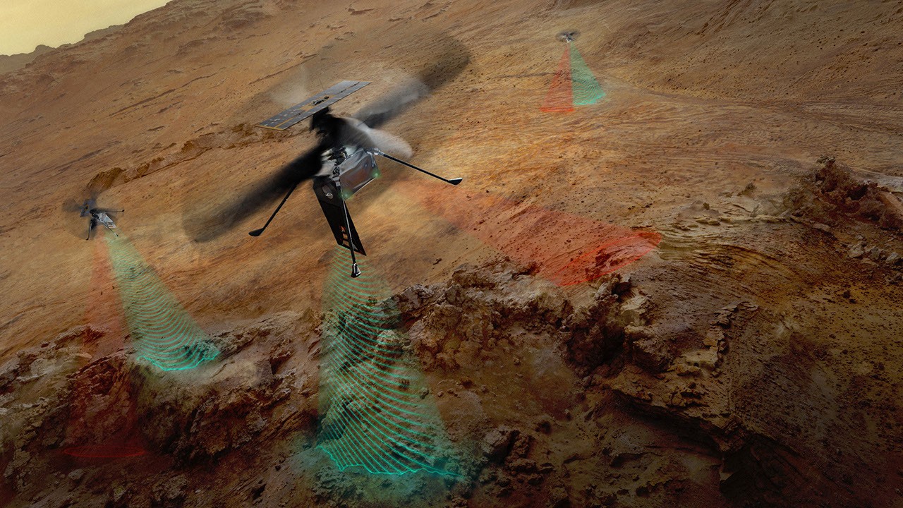
This artist’s concept shows NASA’s three SkyFall Mars helicopters collecting scientific data as they fly over the surface of the Red Planet.
The green frequency waves extending from the helicopters’ large antennas represent the collection of subsurface radar data. The red beams illustrate the helicopters capturing near-infrared imagery of regolith — the crushed rock and dust covering Mars — along with other surface features.
Each of the three Mars helicopters will carry four scientific instruments and build on the achievements of NASA’s Ingenuity Mars Helicopter. Ingenuity flew 72 times over nearly three years, proving that powered, controlled flight is possible in Mars’ thin atmosphere. The pioneering rotorcraft also showed how an aerial perspective can provide valuable data, helping NASA’s Perseverance Mars rover team plan efficient routes and select locations for scientific exploration.
NASA’s SkyFall mission is expected to launch aboard Space Reactor-1 Freedom in late 2028. The three Mars helicopters are currently planned to reach the Red Planet in December 2028.
The SkyFall project is managed by NASA’s Jet Propulsion Laboratory (JPL). AeroVironment, based in Arlington, Virginia, will co-design and co-manufacture the helicopters in partnership with JPL. AeroVironment previously worked with JPL to design and build NASA’s history-making Ingenuity rotorcraft.
Managed by Caltech for NASA, JPL oversees the agency’s Mars Exploration Program on behalf of NASA’s Science Mission Directorate in Washington. SkyFall’s aerial surveys could provide new insights into the Martian surface and subsurface while expanding NASA’s ability to explore Mars by air.
For more information about NASA’s SkyFall Mars helicopter mission, visit NASA’s official website.
Source: science.nasa.gov